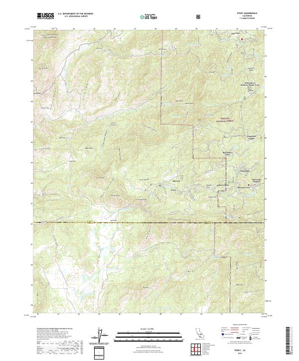
2021 Map of Posey
USGS Topo · Published 2021About this map
Sequoia National Forest anchors this high-elevation landscape where mountain retreats and summer enclaves are clustered along the winding drainages of the White River. Small residential developments like Sugarloaf Village, McClenney Tract, and Poso Park characterize the area's mid-century growth as a destination for seasonal residents. The terrain is marked by prominent ridges and deep canyons, including Rail Flat Ridge and Bear Trap Canyon, which dictate the paths of historic routes like Old Stage Rd.
Find a feature on this map
85 named features on this map. Tap any name to fly to it.
Don’t see what you’re looking for? This feature index may not catch every label — zoom into the map to look around manually.
Map Details
Editions of this 2021 Posey Map
This is the sole edition of this map. No revisions or reprints were ever made.
Other maps of this area

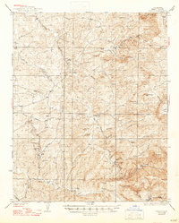
1920 · Delonagha
USGS Topo · 1:62,500

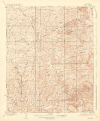
1926 · Glennville
USGS Topo · 1:62,500
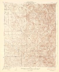
1932 · Woody
USGS Topo · 1:62,500
1935 · Woody
USGS Topo · 1:62,500
1936 · White River
USGS Topo · 1:62,500

1936 · Tobias Peak
USGS Topo · 1:125,000
1943 · Tobias Peak
USGS Topo · 1:125,000
1945 · Tobias Peak
USGS Topo · 1:62,500

1948 · Bakersfield
USGS Topo · 1:250,000
1952 · Woody
USGS Topo · 1:62,500