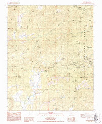
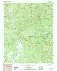
1986 Map of Posey
USGS Topo · Published 1987About this map
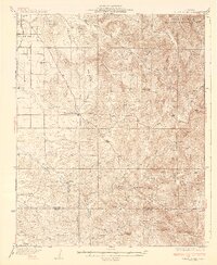
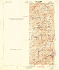
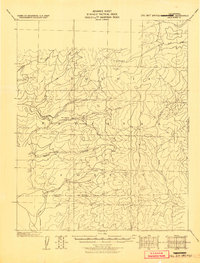
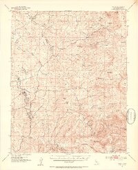
Posey and the surrounding high-country settlements within the Sequoia National Forest are defined by a complex network of canyons and ridges where the Southern Sierra Nevada meets the northern edge of Linns Valley. The landscape is a mix of small mountain communities like Sugarloaf Village, Idlewild, and Panorama Heights, alongside historical agricultural and ranching outposts such as Burton Ranch and Vincent Ranch. The geography is bisected by the White River and Poso Creek, with the latter passing the Poso Forest Service Station and the Grist Mill Peak area. Resource extraction and recreation are both evident, ranging from the Tungstore Mine on the slopes of the Bald Hills to the White River Campground and the YMCA Camp. Transport through the steep terrain is marked by features like Red Grade, reflecting the early infrastructure required to connect these remote mountain tracts with the valley floor.
Find a feature on this map
74 named features on this map. Tap any name to fly to it.
Don’t see what you’re looking for? This feature index may not catch every label — zoom into the map to look around manually.
Map Details
Editions of this 1986 Posey Map
2 editions found
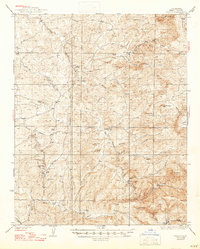
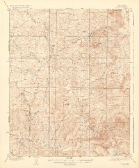
Other maps of this area

1920 · Delonagha
USGS Topo · 1:62,500

1926 · Glennville
USGS Topo · 1:62,500
1932 · Woody
USGS Topo · 1:62,500
1935 · Woody
USGS Topo · 1:62,500
1936 · White River
USGS Topo · 1:62,500

1936 · Tobias Peak
USGS Topo · 1:125,000
1943 · Tobias Peak
USGS Topo · 1:125,000
1945 · Tobias Peak
USGS Topo · 1:62,500

1948 · Bakersfield
USGS Topo · 1:250,000
1952 · Woody
USGS Topo · 1:62,500