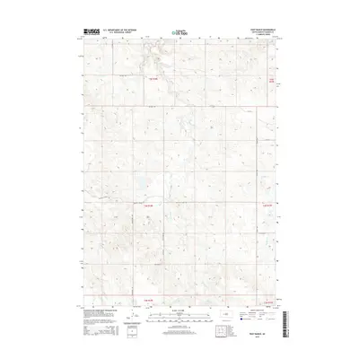
2015 Map of Post Ranch
USGS Topo · Published 2015About this map
Post Ranch serves as a central reference point in this corner of Haakon County, where the landscape is defined by the dendritic drainage patterns of the Ash Cr system. The map reveals a rural network of gravel roads and section lines that provide access to the remote ranching country of western South Dakota. Key thoroughfares such as Hilland Rd and Grindstone Rd cross the terrain, connecting isolated homesteads to the wider region.
Find a feature on this map
18 named features on this map. Tap any name to fly to it.
Don’t see what you’re looking for? This feature index may not catch every label — zoom into the map to look around manually.
Map Details
Editions of this 2015 Post Ranch Map
This is the sole edition of this map. No revisions or reprints were ever made.
Other maps of this area

1953 · Rapid City
USGS Topo · 1:250,000

1954 · Pierre
USGS Topo · 1:250,000

1955 · Pedro
USGS Topo · 1:24,000

1955 · Pedro SE
USGS Topo · 1:24,000

1955 · Hilland NW
USGS Topo · 1:24,000

1957 · Rapid City
USGS Topo · 1:250,000

1958 · Pierre
USGS Topo · 1:250,000

1983 · Post Ranch
USGS Topo · 1:24,000

1983 · Philip
USGS Topo · 1:100,000

1983 · Hilland
USGS Topo · 1:24,000