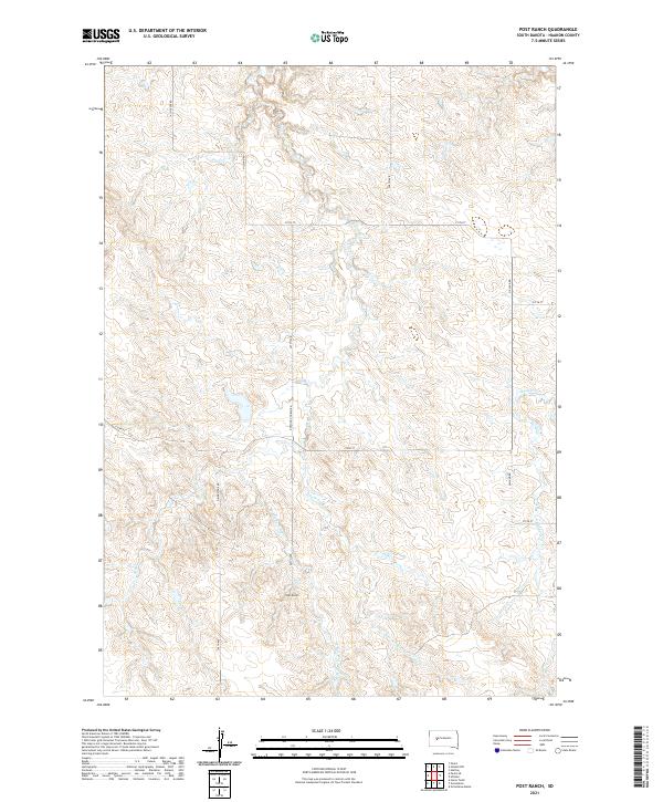
2021 Map of Post Ranch
USGS Topo · Published 2021About this map
Post Ranch serves as a central landmark in this Haakon County landscape, situated where the high plains are carved by the intricate drainage systems of the Cheyenne River watershed. The terrain is defined by the branching reaches of Ash Cr, including the Middle Fork Ash Cr and S Fork Ash Cr, which create a network of draws and ridges across the township divisions. This 2021 topographic perspective captures the modern rural infrastructure of South Dakota, where a grid of section-line roads like 214th St and named arteries such as Dowling Church Rd provide access to remote ranching outposts. The map documents the persistent agricultural footprint in this portion of the state, tracing the relationship between water sources like Bridger Cr and the local transportation network of Hilland Rd and Grindstone Rd.
Find a feature on this map
23 named features on this map. Tap any name to fly to it.
Don’t see what you’re looking for? This feature index may not catch every label — zoom into the map to look around manually.
Map Details
Editions of this 2021 Post Ranch Map
This is the sole edition of this map. No revisions or reprints were ever made.
Other maps of this area

1953 · Rapid City
USGS Topo · 1:250,000

1954 · Pierre
USGS Topo · 1:250,000

1955 · Pedro
USGS Topo · 1:24,000

1955 · Pedro SE
USGS Topo · 1:24,000

1955 · Hilland NW
USGS Topo · 1:24,000

1957 · Rapid City
USGS Topo · 1:250,000

1958 · Pierre
USGS Topo · 1:250,000

1983 · Post Ranch
USGS Topo · 1:24,000

1983 · Philip
USGS Topo · 1:100,000

1983 · Hilland
USGS Topo · 1:24,000