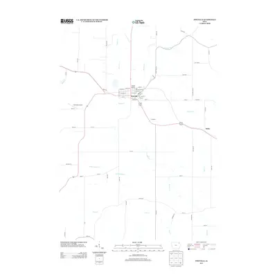
2013 Map of Postville
USGS Topo · Published 2013About this map
Postville serves as the central hub of this Northeast Iowa landscape, where a grid of local roads and state highways connects the town to nearby hamlets and agricultural lands. The community is defined by its recreational and public spaces, most notably the Big Four Fair Grounds on the eastern edge of the city and the Postville City Ball Diamond. To the west, the Dale Delight Airport provides a localized aviation link for the region.
Find a feature on this map
63 named features on this map. Tap any name to fly to it.
Don’t see what you’re looking for? This feature index may not catch every label — zoom into the map to look around manually.
Map Details
Editions of this 2013 Postville Map
This is the sole edition of this map. No revisions or reprints were ever made.
Other maps of this area

1901 · Oelwein
USGS Topo · 1:125,000

1902 · Elkader
USGS Topo · 1:125,000

1903 · Waukon
USGS Topo · 1:125,000

1906 · Decorah
USGS Topo · 1:125,000

1958 · La Crosse
USGS Topo · 1:250,000

1959 · Dubuque
USGS Topo · 1:250,000

1961 · Dubuque
USGS Topo · 1:250,000

1961 · La Crosse
USGS Topo · 1:250,000

1962 · Dubuque
USGS Topo · 1:250,000

1965 · La Crosse
USGS Topo · 1:250,000