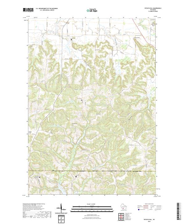
2022 Map of Potato Hill
USGS Topo · Published 2022About this map
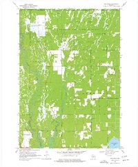
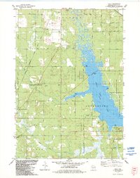
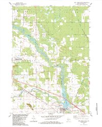
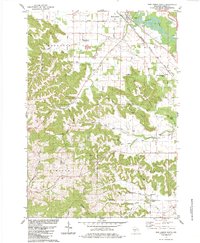
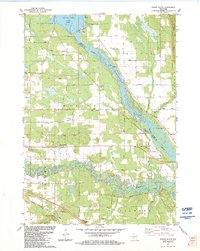
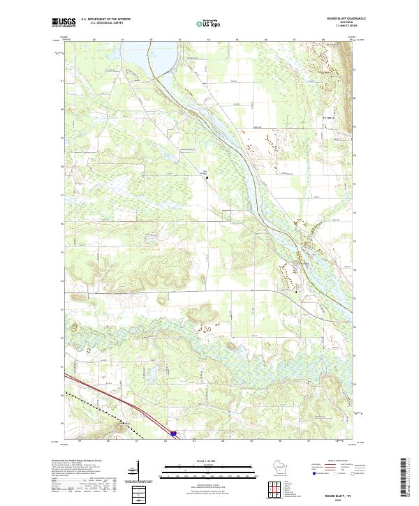
Potato Hill stands as a prominent landmark in this section of Juneau County, where the driftless-style topography creates a landscape of deep valleys and high ridges. The area is defined by its rural cemeteries and scattered farmsteads, with Evergreen Cem and Barney Cem serving as quiet focal points for local family history. The drainage pattern is complex, featuring the headwaters of Little Onemile Cr and the branching segments of W Br Big Cr, which carve through the terrain near the Juneau and Sauk County line.
Find a feature on this map
70 named features on this map. Tap any name to fly to it.
Don’t see what you’re looking for? This feature index may not catch every label — zoom into the map to look around manually.
Map Details
Editions of this 2022 Potato Hill Map
This is the sole edition of this map. No revisions or reprints were ever made.
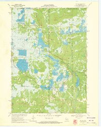
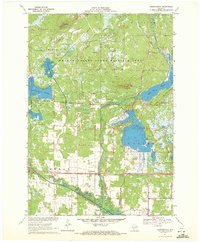
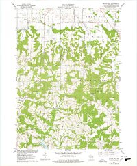
Historical Maps of Lemonweir Through Time
22 maps found
1969 Arkdale NW
Juneau County, WI
1969 Cutler
Juneau County, WI
1969 Finley
Juneau County, WI
1969 New Miner
Juneau County, WI
1970 Mather
Juneau County, WI
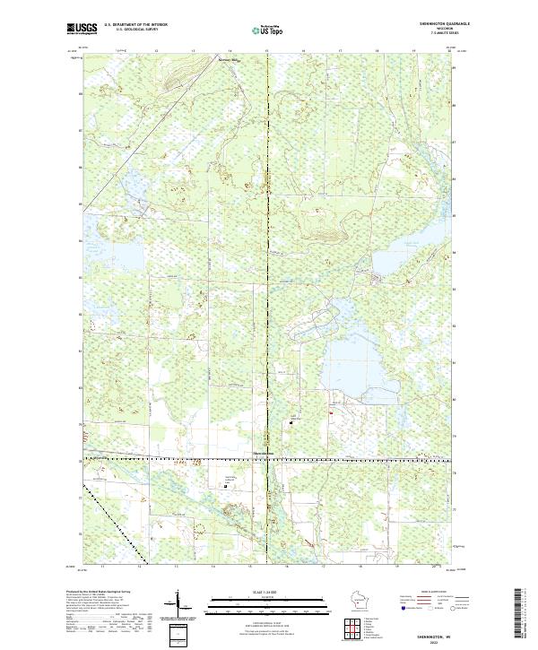
1970 Shennington
Juneau County, WI
1975 Potato Hill
Juneau County, WI
1983 Kelly
Juneau County, WI
1983 New Lisbon North
Juneau County, WI
1983 New Lisbon South
Juneau County, WI
1983 Round Bluff
Juneau County, WI
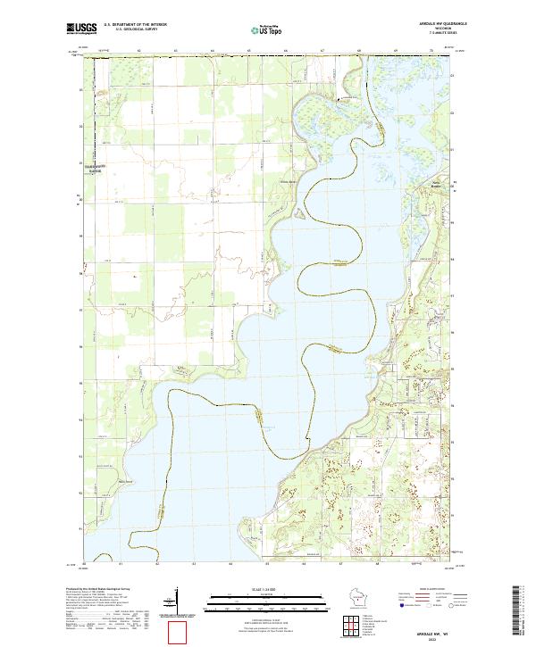
2022 Arkdale NW
Juneau County, WI
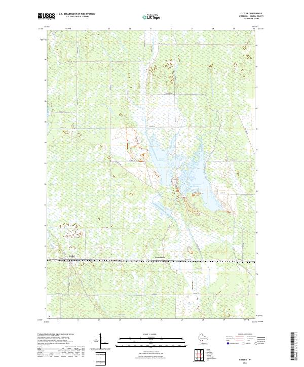
2022 Cutler
Juneau County, WI
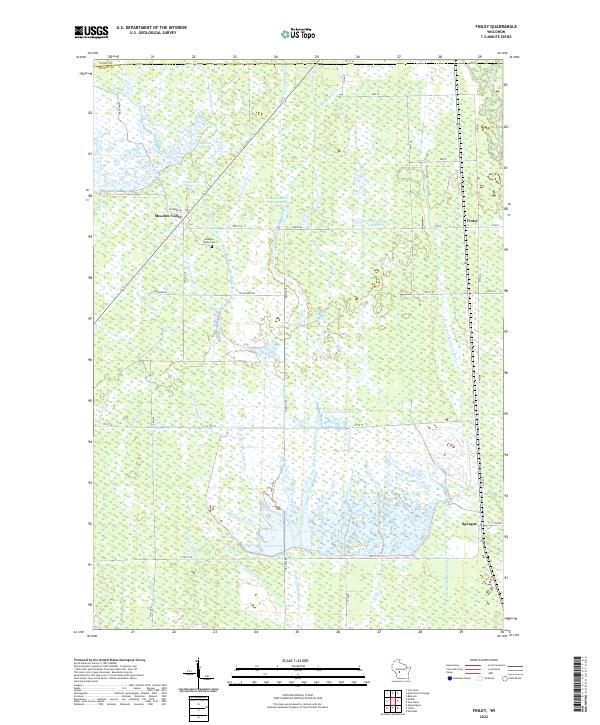
2022 Finley
Juneau County, WI
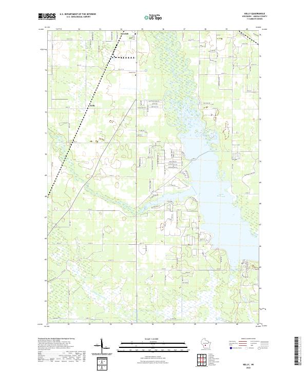
2022 Kelly
Juneau County, WI
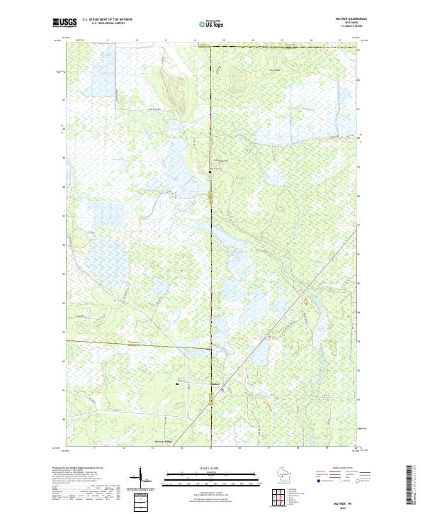
2022 Mather
Juneau County, WI
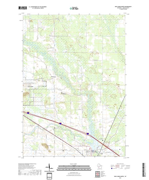
2022 New Lisbon North
Juneau County, WI
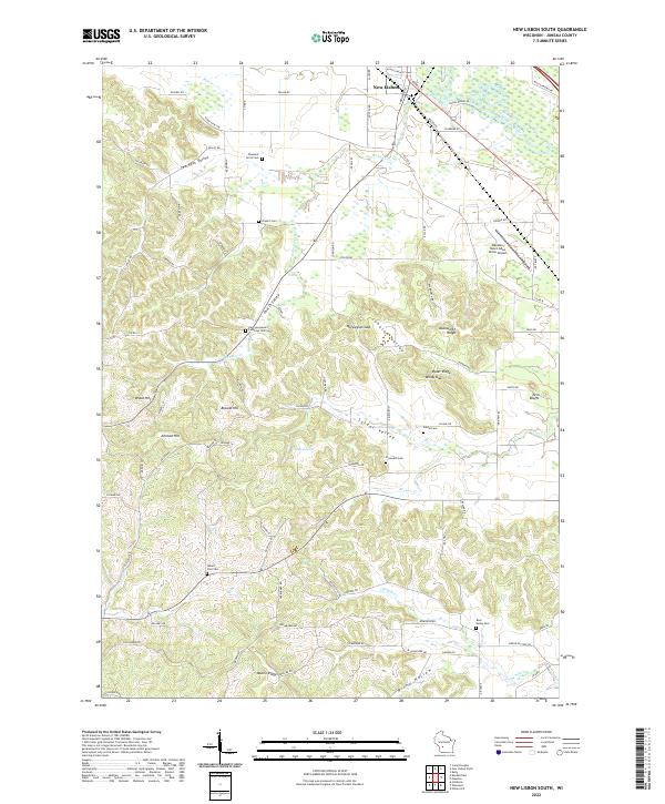
2022 New Lisbon South
Juneau County, WI
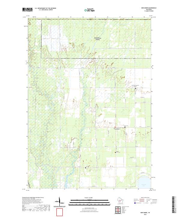
2022 New Miner
Juneau County, WI
2022 Potato Hill
Juneau County, WI
2022 Round Bluff
Juneau County, WI
2022 Shennington
Juneau County, WI