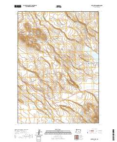
2020 Map of Potato Hills
USGS Topo · Published 2020About this map
Potato Hill dominates this high desert landscape in Harney County, characterized by a series of intermittent lakes and water management features. The area's hydrology is defined by seasonal basins including North Sheep Lake, Brush Lake, and Cecil Lake, many of which are connected by ephemeral drainages like Chickahominy Cr. Water infrastructure is vital here, evidenced by the Potato Hill Reservoir, Roadside Reservoir, and the Sheep L Ditch which directs flow through the arid basins.
Find a feature on this map
20 named features on this map. Tap any name to fly to it.
Don’t see what you’re looking for? This feature index may not catch every label — zoom into the map to look around manually.
Map Details
Editions of this 2020 Potato Hills Map
This is the sole edition of this map. No revisions or reprints were ever made.
Other maps of this area

1955 · Burns
USGS Topo · 1:250,000

1958 · Burns
USGS Topo · 1:250,000

1959 · Burns
USGS Topo · 1:250,000

1980 · Squaw Butte
USGS Topo · 1:24,000

1980 · Round Top Butte
USGS Topo · 1:24,000

1980 · Hay Lake
USGS Topo · 1:24,000

1981 · Hat Butte
USGS Topo · 1:24,000
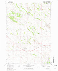
1981 · Potato Hills
USGS Topo · 1:24,000
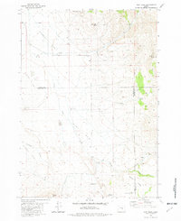
1981 · Dust Bowl
USGS Topo · 1:24,000
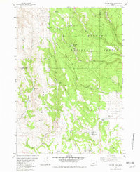
1981 · Bulger Ridge
USGS Topo · 1:24,000