Loading...
Loading map...2024 Map of Potomac
USGS Topo · Published 2024About this map
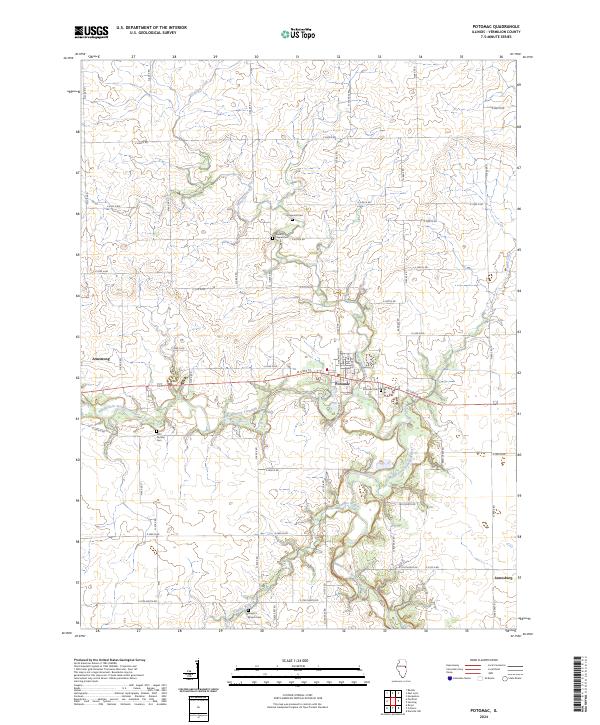
The Middle Fork Vermilion River carves a winding path through this central Illinois landscape, forming the backbone of the Middle Fork Vermilion Wild and Scenic River corridor. The village of Potomac sits as the central hub of a rural grid network, anchored by its post office and the Potomac Cem on its eastern edge. To the west, the settlement of Armstrong marks a secondary crossroads, while Jamesburg occupies the southeastern corner of the survey.
Find a feature on this map
60 named features on this map. Tap any name to fly to it.
Don’t see what you’re looking for? This feature index may not catch every label — zoom into the map to look around manually.
Map Details
Date Portrayed2024
Date Published2024
PublisherU.S. Geological Survey
Map TypeTopographic
Scale1:24000
Physical Dimensions24 x 29 inches
Editions of this 2024 Potomac Map
This is the sole edition of this map. No revisions or reprints were ever made.
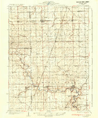
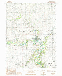
Historical Maps of Potomac Through Time
4 maps found

Featured Locations
Source Details
SourceU.S. Geological Survey
CopyrightPublic Domain