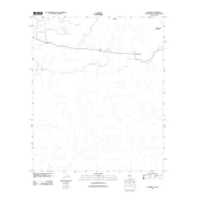
2012 Map of Potrero
USGS Topo · Published 2012About this map
Potrero sits at the heart of this borderland landscape, where the valley floor transitions into the elevated terrain of Hauser Mountain. The settlement pattern follows the contours of Bell Valley, with established routes like Stagecoach Rd and Potrero Valley Rd connecting small clusters of development. To the east, Canyon City and the crossing at Division mark the approach to the international boundary, while the Hacienda del Florasol property occupies the northeastern corner of the sheet. The drainage network is defined by Potrero Cr and Campo Cr, which carve through the arid topography. This modern survey captures the rural character of the region, featuring numerous named private lanes and ranch roads such as Harris Ranch Rd and the evocatively named Broken Bone Ln, reflecting a landscape still defined by agriculture and low-density habitation.
Find a feature on this map
21 named features on this map. Tap any name to fly to it.
Don’t see what you’re looking for? This feature index may not catch every label — zoom into the map to look around manually.
Map Details
Editions of this 2012 Potrero Map
This is the sole edition of this map. No revisions or reprints were ever made.
Other maps of this area

1903 · Cuyamaca
USGS Topo · 1:125,000

1904 · Southern California Sheet No. 2
USGS Topo · 1:250,000

1931 · Carrizo
USGS Topo · 1:125,000

1939 · Campo
USGS Topo · 1:62,500

1942 · Potrero
USGS Topo · 1:48,000

1942 · Campo
USGS Topo · 1:62,500

1944 · Potrero
USGS Topo · 1:62,500

1950 · San Diego
USGS Topo · 1:250,000

1954 · San Diego
USGS Topo · 1:250,000

1955 · San Diego
USGS Topo · 1:250,000