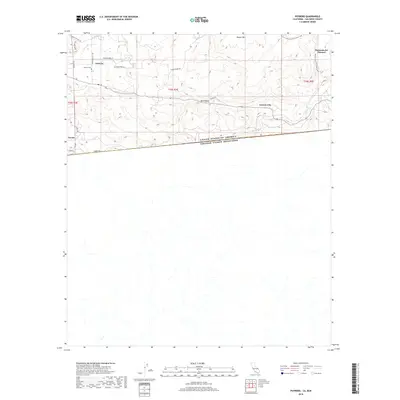
2018 Map of Potrero
USGS Topo · Published 2018About this map
Potrero serves as the focal point of this San Diego County borderland survey, situated just north of the international boundary line. The landscape is defined by the steep elevation of Hauser Mtn and the sweeping Bell Valley, where local history is anchored by the Potrero Cem. Cultural and transit markers such as Harris Ranch Rd and Stage Coach Rd reflect the area’s ranching and stage line legacy, while the Pacific Crest National Scenic Trail winds through the eastern heights near Hacienda del Florasol. The southern edge of the quadrangle follows Border Rd, tracing the division between the United States and Mexico, with the community of Tecate positioned at the southwestern corner. This map illustrates the intersection of high-desert terrain and rural infrastructure, documenting the drainage of Potrero Cr and Campo Cr as they traverse this transitional geography.
Find a feature on this map
25 named features on this map. Tap any name to fly to it.
Don’t see what you’re looking for? This feature index may not catch every label — zoom into the map to look around manually.
Map Details
Editions of this 2018 Potrero Map
This is the sole edition of this map. No revisions or reprints were ever made.
Other maps of this area

1903 · Cuyamaca
USGS Topo · 1:125,000

1904 · Southern California Sheet No. 2
USGS Topo · 1:250,000

1931 · Carrizo
USGS Topo · 1:125,000

1939 · Campo
USGS Topo · 1:62,500

1942 · Potrero
USGS Topo · 1:48,000

1942 · Campo
USGS Topo · 1:62,500

1944 · Potrero
USGS Topo · 1:62,500

1950 · San Diego
USGS Topo · 1:250,000

1954 · San Diego
USGS Topo · 1:250,000

1955 · San Diego
USGS Topo · 1:250,000