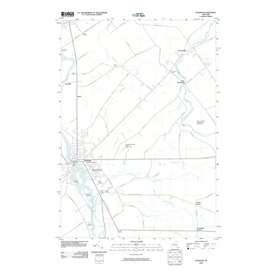
2010 Map of Potsdam
USGS Topo · Published 2010About this map
Clarkson University and the State University of New York at Potsdam dominate the eastern banks of the Raquette River, reflecting the town's long-standing identity as a regional educational hub. The river itself is punctuated by Fall Island and Sugar Island, while the Potsdam Water Works indicates the essential infrastructure supporting the village. To the north and east, the landscape transitions into a network of rural hamlets including West Stockholm, Sandfordville, and Unionville.
Find a feature on this map
62 named features on this map. Tap any name to fly to it.
Don’t see what you’re looking for? This feature index may not catch every label — zoom into the map to look around manually.
Map Details
Editions of this 2010 Potsdam Map
This is the sole edition of this map. No revisions or reprints were ever made.
Other maps of this area

1905 · Waddington
USGS Topo · 1:62,500

1906 · Massena
USGS Topo · 1:62,500

1907 · Massena
USGS Topo · 1:62,500

1908 · Potsdam
USGS Topo · 1:62,500

1910 · Canton
USGS Topo · 1:62,500

1911 · Canton
USGS Topo · 1:62,500

1942 · Long Bow
USGS Topo · 1:24,000

1942 · Chase Mills
USGS Topo · 1:24,000

1942 · Norfolk
USGS Topo · 1:24,000

1943 · Potsdam
USGS Topo · 1:31,680