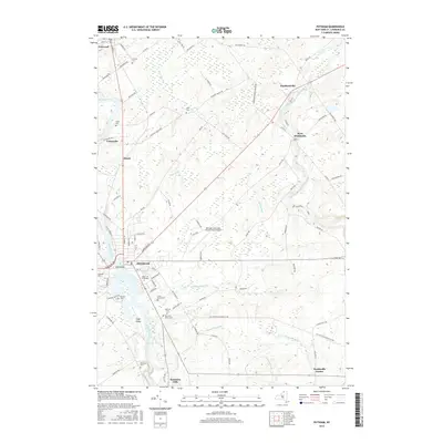
2016 Map of Potsdam
USGS Topo · Published 2016About this map
Potsdam and its surrounding academic landscape define this portion of the North Country, where the Raquette River winds through the village and around Fall Island. The influence of major institutions is evident in the sprawling campuses of SUNY Coll at Potsdam and Clarkson Univ, which anchor the southern end of the village. The map detail extends to neighboring hamlets like Norwood and West Stockholm, illustrating the transition from dense educational and residential hubs to the structured agricultural and forest lands of Saint Lawrence County.
Find a feature on this map
85 named features on this map. Tap any name to fly to it.
Don’t see what you’re looking for? This feature index may not catch every label — zoom into the map to look around manually.
Map Details
Editions of this 2016 Potsdam Map
This is the sole edition of this map. No revisions or reprints were ever made.
Other maps of this area

1905 · Waddington
USGS Topo · 1:62,500

1906 · Massena
USGS Topo · 1:62,500

1907 · Massena
USGS Topo · 1:62,500

1908 · Potsdam
USGS Topo · 1:62,500

1910 · Canton
USGS Topo · 1:62,500

1911 · Canton
USGS Topo · 1:62,500

1942 · Long Bow
USGS Topo · 1:24,000

1942 · Chase Mills
USGS Topo · 1:24,000

1942 · Norfolk
USGS Topo · 1:24,000

1943 · Potsdam
USGS Topo · 1:31,680