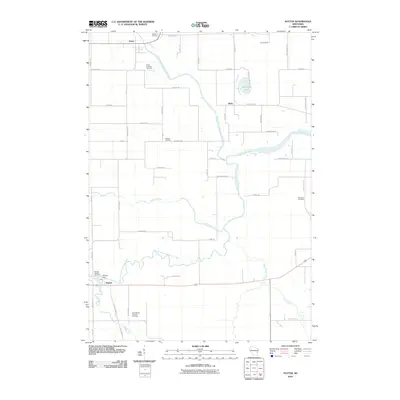
2010 Map of Potter
USGS Topo · Published 2010About this map
The North Branch Manitowoc River and South Branch Manitowoc River converge in this section of Calumet County, defining a landscape shaped by glacial drainage and agricultural settlement. Near the northern village of Potter, the river system begins its winding eastward course, joined later by the Killsnake River and Cedar Creek. This 2010 survey captures the rural character of the region, where small communities like Wells and Hayton serve as local anchors. Genealogists will find significant value in the distribution of several religious and family burial sites, including Saint Martin Catholic Cemetery, Trinity Lutheran Cemetery, and the Streckert Cemetery. The southern edge of the quadrangle is marked by the Hayton Dam, an essential piece of local water management infrastructure situated near the Hayton Hillside Cemetery.
Find a feature on this map
51 named features on this map. Tap any name to fly to it.
Don’t see what you’re looking for? This feature index may not catch every label — zoom into the map to look around manually.
Map Details
Editions of this 2010 Potter Map
This is the sole edition of this map. No revisions or reprints were ever made.
Other maps of this area

1954 · School Hill
USGS Topo · 1:24,000

1954 · Howards Grove
USGS Topo · 1:62,500

1954 · Chilton
USGS Topo · 1:62,500

1954 · Reedsville
USGS Topo · 1:62,500

1954 · Kiel
USGS Topo · 1:62,500

1954 · Milwaukee
USGS Topo · 1:250,000

1954 · Manitowoc
USGS Topo · 1:250,000

1955 · Green Bay
USGS Topo · 1:250,000

1957 · Madison
USGS Topo · 1:250,000

1958 · Manitowoc
USGS Topo · 1:250,000