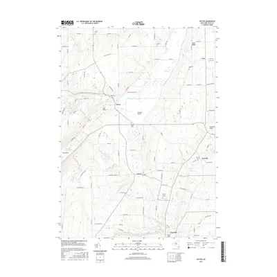
2016 Map of Potter
USGS Topo · Published 2016About this map
Potter Swamp and the meandering course of Flint Creek define the central valley of this 2016 survey, reflecting the deep agricultural and natural drainage patterns of Yates County. The map documents several historic burial sites tied to early families and settlements, including the French Cem in the north and the Friend's Burial Ground further south. These landmarks, alongside the Old Fort Cem near the community of Friend, provide vital anchor points for local genealogical research.
Find a feature on this map
88 named features on this map. Tap any name to fly to it.
Don’t see what you’re looking for? This feature index may not catch every label — zoom into the map to look around manually.
Map Details
Editions of this 2016 Potter Map
This is the sole edition of this map. No revisions or reprints were ever made.
Other maps of this area

1900 · Naples
USGS Topo · 1:62,500

1900 · Canandaigua
USGS Topo · 1:62,500

1902 · Phelps
USGS Topo · 1:62,500

1903 · Naples
USGS Topo · 1:62,500

1903 · Canandaigua
USGS Topo · 1:62,500

1903 · Penn Yan
USGS Topo · 1:62,500

1913 · Naples
USGS Topo · 1:62,500

1942 · Prattsburg
USGS Topo · 1:31,680

1942 · Penn Yan
USGS Topo · 1:31,680

1942 · Pulteney
USGS Topo · 1:31,680