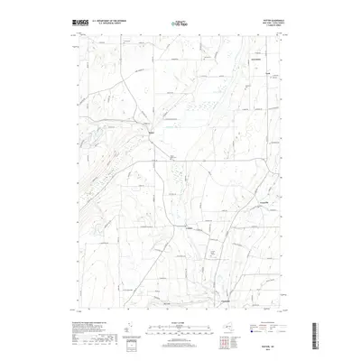
2019 Map of Potter
USGS Topo · Published 2019About this map
Potter Swamp and the surrounding drainage of Flint Creek dominate this central Yates County landscape, where the agricultural traditions of the Finger Lakes region remain evident. The terrain transitions from the wetland bottomlands to the prominent elevations of Italy Valley and the sharp incision of Big Gully. This area is characterized by numerous small, family-named and community cemeteries, including the Friend's Burial Ground, Old Fort Cem, and Nettle Valley Cem, providing significant geographic markers for genealogical research in settlements such as Friend, Potter, and Yatesville. The map captures a rural network of roads like Mucklands Access Rd and Muck Rd, which reflect the local reliance on the fertile, reclaimed soils of the swamp margins. Along the eastern edge, the hamlet of Voak and the headwaters of Sugar Cr indicate the varied hydrologic patterns that shaped early settlement and commerce in this part of New York.
Find a feature on this map
93 named features on this map. Tap any name to fly to it.
Don’t see what you’re looking for? This feature index may not catch every label — zoom into the map to look around manually.
Map Details
Editions of this 2019 Potter Map
This is the sole edition of this map. No revisions or reprints were ever made.
Other maps of this area

1900 · Naples
USGS Topo · 1:62,500

1900 · Canandaigua
USGS Topo · 1:62,500

1902 · Phelps
USGS Topo · 1:62,500

1903 · Naples
USGS Topo · 1:62,500

1903 · Canandaigua
USGS Topo · 1:62,500

1903 · Penn Yan
USGS Topo · 1:62,500

1913 · Naples
USGS Topo · 1:62,500

1942 · Prattsburg
USGS Topo · 1:31,680

1942 · Penn Yan
USGS Topo · 1:31,680

1942 · Pulteney
USGS Topo · 1:31,680