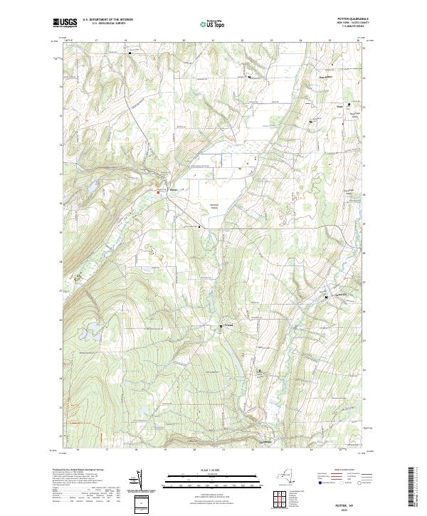
2023 Map of Potter
USGS Topo · Published 2023About this map
Italy Valley and the surrounding heights of Yates County define the agricultural and drainage patterns of this Finger Lakes upland. The landscape is dominated by the sprawling Potter Swamp in the north and a series of steep-walled hollows, including Sherman Hollow and the drainage of Big Gully. Small rural hamlets like Potter and Friend serve as anchors for a network of valley roads that follow the winding courses of Flint Creek and Nettle Valley Creek.
Find a feature on this map
97 named features on this map. Tap any name to fly to it.
Don’t see what you’re looking for? This feature index may not catch every label — zoom into the map to look around manually.
Map Details
Editions of this 2023 Potter Map
This is the sole edition of this map. No revisions or reprints were ever made.
Other maps of this area

1900 · Naples
USGS Topo · 1:62,500

1900 · Canandaigua
USGS Topo · 1:62,500

1902 · Phelps
USGS Topo · 1:62,500

1903 · Naples
USGS Topo · 1:62,500

1903 · Canandaigua
USGS Topo · 1:62,500

1903 · Penn Yan
USGS Topo · 1:62,500

1913 · Naples
USGS Topo · 1:62,500

1942 · Prattsburg
USGS Topo · 1:31,680

1942 · Penn Yan
USGS Topo · 1:31,680

1942 · Pulteney
USGS Topo · 1:31,680