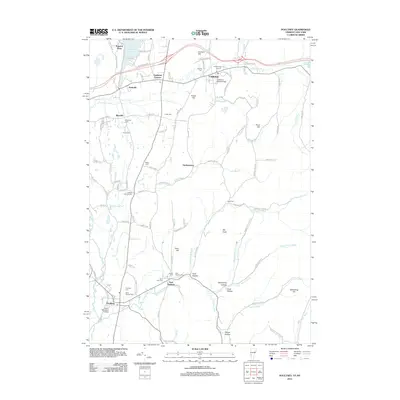
2012 Map of Poultney
USGS Topo · Published 2012About this map
Castleton and Poultney serve as the primary anchors of this Rutland County landscape, each defined by their respective educational institutions, Castleton State College and Green Mountain College. The terrain is deeply textured with high points like Pond Hill and Graham Hill, while the Poultney River and Castleton River carve significant valleys through the region. This 2012 survey illustrates a well-established network of rural roads, including Applesauce Hl and Packing House Rd, which connect the small settlements of Hydeville, Blissville, and Gorhamtown.
Find a feature on this map
114 named features on this map. Tap any name to fly to it.
Don’t see what you’re looking for? This feature index may not catch every label — zoom into the map to look around manually.
Map Details
Editions of this 2012 Poultney Map
This is the sole edition of this map. No revisions or reprints were ever made.
Other maps of this area

1893 · Fort Ann
USGS Topo · 1:62,500

1893 · Whitehall
USGS Topo · 1:62,500

1894 · Pawlet
USGS Topo · 1:62,500

1895 · Whitehall
USGS Topo · 1:62,500

1895 · Fort Ann
USGS Topo · 1:62,500

1895 · Castleton
USGS Topo · 1:62,500

1897 · Pawlet
USGS Topo · 1:62,500

1897 · Castleton
USGS Topo · 1:62,500

1898 · Whitehall
USGS Topo · 1:62,500

1898 · Fort Ann
USGS Topo · 1:62,500