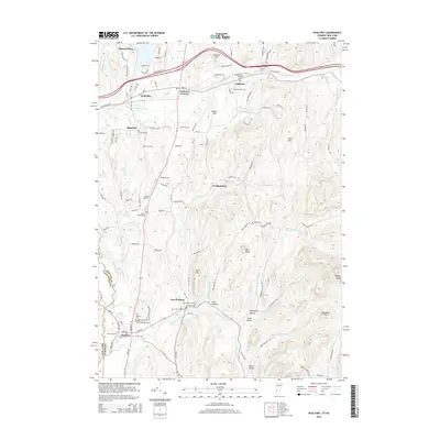
2015 Map of Poultney
USGS Topo · Published 2015About this map
Poultney and East Poultney sit along the Poultney River, marking the boundary between Vermont and New York in this 2015 topographic record. The map reveals a high concentration of cemeteries and family burial sites, such as the Hosford Tomb and Fifield Cem, which offer significant value for genealogists tracing early regional families. Higher learning is central to the area's identity, anchored by Castleton State Coll in the north and Green Mtn Coll in the south.
Find a feature on this map
119 named features on this map. Tap any name to fly to it.
Don’t see what you’re looking for? This feature index may not catch every label — zoom into the map to look around manually.
Map Details
Editions of this 2015 Poultney Map
This is the sole edition of this map. No revisions or reprints were ever made.
Other maps of this area

1893 · Fort Ann
USGS Topo · 1:62,500

1893 · Whitehall
USGS Topo · 1:62,500

1894 · Pawlet
USGS Topo · 1:62,500

1895 · Whitehall
USGS Topo · 1:62,500

1895 · Fort Ann
USGS Topo · 1:62,500

1895 · Castleton
USGS Topo · 1:62,500

1897 · Pawlet
USGS Topo · 1:62,500

1897 · Castleton
USGS Topo · 1:62,500

1898 · Whitehall
USGS Topo · 1:62,500

1898 · Fort Ann
USGS Topo · 1:62,500