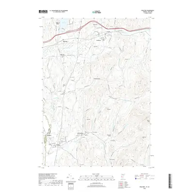
2018 Map of Poultney
USGS Topo · Published 2018About this map
Castleton State College and Green Mtn College anchor this Rutland County landscape, which transitions from the southern shores of Lake Bomoseen at Indian Bay down through the river valleys of the Vermont-New York border. The area is exceptionally rich in genealogical landmarks, featuring numerous burial sites such as the Old Burying Ground near Castleton and the Hosford Tomb Plot further south. The settlement pattern follows the drainage of the Castleton River and Poultney River, with established centers like Hydeville, East Poultney, and the border town of Hampton. Beyond the town centers, the terrain rises into named heights like Pond Hill and Graham Hill, while secluded valleys like Finel Hollow and Morse Hollow contain small family-named cemeteries including the Ward Cem and Fifield Cem.
Find a feature on this map
109 named features on this map. Tap any name to fly to it.
Don’t see what you’re looking for? This feature index may not catch every label — zoom into the map to look around manually.
Map Details
Editions of this 2018 Poultney Map
This is the sole edition of this map. No revisions or reprints were ever made.
Other maps of this area

1893 · Fort Ann
USGS Topo · 1:62,500

1893 · Whitehall
USGS Topo · 1:62,500

1894 · Pawlet
USGS Topo · 1:62,500

1895 · Whitehall
USGS Topo · 1:62,500

1895 · Fort Ann
USGS Topo · 1:62,500

1895 · Castleton
USGS Topo · 1:62,500

1897 · Pawlet
USGS Topo · 1:62,500

1897 · Castleton
USGS Topo · 1:62,500

1898 · Whitehall
USGS Topo · 1:62,500

1898 · Fort Ann
USGS Topo · 1:62,500