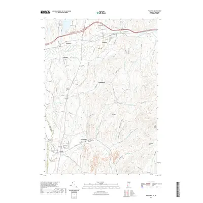
2021 Map of Poultney
USGS Topo · Published 2021About this map
Castleton University and the Old Burying Ground anchor the historic settlement of Castleton, where the landscape transitions from the shores of Lake Bomoseen at Point of Pines toward the high ridges of Pond Hill and Graham Hill. To the south, the village of Poultney sits along the Poultney River at the New York state line, characterized by its educational history at Green Mountain College and a high concentration of memorial sites including the Jewish Cem and Saint Raphael Cem.
Find a feature on this map
115 named features on this map. Tap any name to fly to it.
Don’t see what you’re looking for? This feature index may not catch every label — zoom into the map to look around manually.
Map Details
Editions of this 2021 Poultney Map
This is the sole edition of this map. No revisions or reprints were ever made.
Other maps of this area

1893 · Fort Ann
USGS Topo · 1:62,500

1893 · Whitehall
USGS Topo · 1:62,500

1894 · Pawlet
USGS Topo · 1:62,500

1895 · Whitehall
USGS Topo · 1:62,500

1895 · Fort Ann
USGS Topo · 1:62,500

1895 · Castleton
USGS Topo · 1:62,500

1897 · Pawlet
USGS Topo · 1:62,500

1897 · Castleton
USGS Topo · 1:62,500

1898 · Whitehall
USGS Topo · 1:62,500

1898 · Fort Ann
USGS Topo · 1:62,500