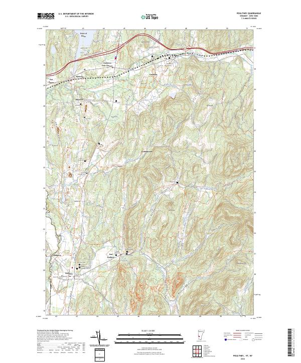
2024 Map of Poultney
USGS Topo · Published 2024About this map
Castleton and Poultney anchor this modern survey of the Vermont-New York border, where the Poultney River and Castleton River carve through a landscape of significant cultural and educational history. The presence of Castleton University and Green Mountain College highlights the region's long-standing academic character. For genealogists, the map is a dense resource of small burial sites, ranging from the Old Burying Ground and Hillside Cem in the north to the Hosford Tomb Plot and several denominational sites like Saint Raphael Cem and the Jewish Cem further south.
Find a feature on this map
50 named features on this map. Tap any name to fly to it.
Don’t see what you’re looking for? This feature index may not catch every label — zoom into the map to look around manually.
Map Details
Editions of this 2024 Poultney Map
This is the sole edition of this map. No revisions or reprints were ever made.
Other maps of this area

1893 · Fort Ann
USGS Topo · 1:62,500

1893 · Whitehall
USGS Topo · 1:62,500

1894 · Pawlet
USGS Topo · 1:62,500

1895 · Whitehall
USGS Topo · 1:62,500

1895 · Fort Ann
USGS Topo · 1:62,500

1895 · Castleton
USGS Topo · 1:62,500

1897 · Pawlet
USGS Topo · 1:62,500

1897 · Castleton
USGS Topo · 1:62,500

1898 · Whitehall
USGS Topo · 1:62,500

1898 · Fort Ann
USGS Topo · 1:62,500