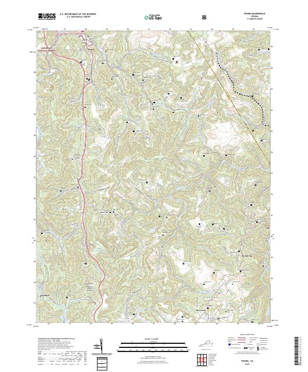
2022 Map of Pound
USGS Topo · Published 2022About this map
The Tennessee Valley Divide snakes through this high mountain terrain, separating the headwaters of the Pound River from the southern drainages. The landscape is defined by its deep hollows and family-named ridges, where small communities like Pound and Hurricane sit amidst the Jefferson National Forest. This map reveals a high density of small family burial grounds, such as Hamilton Cem, Stapleton Cem, and the Powers Family Cem, which are often located on the steep slopes of Bold Camp Mtn or tucked into side drainages like McFall Fork. The proximity of landmarks like Bean Gap and Indian Gap suggests a landscape shaped by narrow passes and historic routes through the mountains. Modern recreational transitions are evident with the presence of the Heart of Appalachia Bike Route Tri, weaving through a region once primarily accessed by roads like Gilliam School Rd.
Find a feature on this map
141 named features on this map. Tap any name to fly to it.
Don’t see what you’re looking for? This feature index may not catch every label — zoom into the map to look around manually.
Map Details
Editions of this 2022 Pound Map
This is the sole edition of this map. No revisions or reprints were ever made.
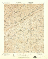
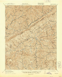
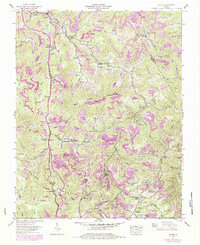
Historical Maps of Peaks Store Through Time
4 maps found