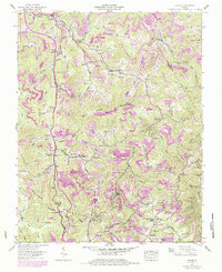
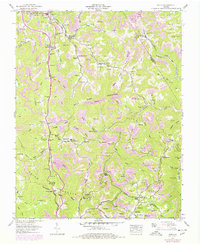
1957 Map of Pound
USGS Topo · Published 1984About this map
Pound serves as the focal point for this survey of the Appalachian high country, situated near the headwaters of the North Fork Pound River. The landscape is defined by the steep ridges of Bold Camp Mountain and Tennessee Mountain, where narrow hollows like Killen Hollow and Cavenger Hollow provided the primary corridors for early settlement and transport. Numerous family cemeteries, such as Hillman Cem and Mullins Cem, are scattered across the slopes, reflecting the deeply rooted genealogical history of the region.
Find a feature on this map
117 named features on this map. Tap any name to fly to it.
Don’t see what you’re looking for? This feature index may not catch every label — zoom into the map to look around manually.
Map Details
Editions of this 1957 Pound Map
5 editions found
Other maps of this area

1886 · Grundy
USGS Topo · 1:125,000

1890 · Whitesburg
USGS Topo · 1:125,000

1890 · Grundy
USGS Topo · 1:125,000

1892 · Grundy
USGS Topo · 1:125,000

1892 · Whitesburg
USGS Topo · 1:125,000

1894 · Estillville
USGS Topo · 1:125,000

1897 · Bristol
USGS Topo · 1:125,000

1902 · Bristol
USGS Topo · 1:125,000

1912 · Pound
USGS Topo · 1:48,000

1913 · Clintwood
USGS Topo · 1:62,500