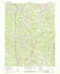
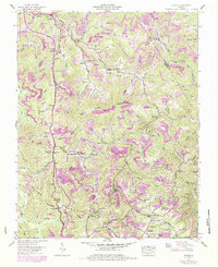
1957 Map of Pound
USGS Topo · Published 1970About this map
The town of Pound sits at the northern edge of this terrain, where the North Fork Pound River flows amidst a landscape defined by industrial extraction and deep-seated local communities. Extensive strip mines and the Clinchfield-Moss Mines mark the ridges of Bold Camp Mountain and Indian Mountain, revealing the heavy reliance on coal in this corner of Wise County. This resource-driven economy is tied together by the Chesapeake and Ohio RR and the Clinchfield RR, which snake through the hollows to move the region's output.
Find a feature on this map
126 named features on this map. Tap any name to fly to it.
Don’t see what you’re looking for? This feature index may not catch every label — zoom into the map to look around manually.
Map Details
Editions of this 1957 Pound Map
5 editions found
Other maps of this area

1886 · Grundy
USGS Topo · 1:125,000

1890 · Whitesburg
USGS Topo · 1:125,000

1890 · Grundy
USGS Topo · 1:125,000

1892 · Grundy
USGS Topo · 1:125,000

1892 · Whitesburg
USGS Topo · 1:125,000

1894 · Estillville
USGS Topo · 1:125,000

1897 · Bristol
USGS Topo · 1:125,000

1902 · Bristol
USGS Topo · 1:125,000

1912 · Pound
USGS Topo · 1:48,000

1913 · Clintwood
USGS Topo · 1:62,500