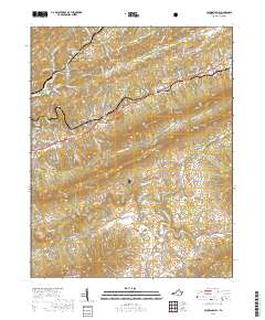
2019 Map of Pounding Mill
USGS Topo · Published 2019About this map
Clinch Mountain and the Tennessee Valley Divide define the complex topography of this Tazewell County landscape. The upper reaches of the Clinch River wind through the northwest, connecting the settlements of Cedar Bluff and Pounding Mill. To the south, the terrain rises toward Paint Lick Mtn and Short Mtn, while the southern valley is home to the Maiden Spring community and the sheltered Ward Cove. This geography illustrates a typical Appalachian settlement pattern, where small communities like Gillespie and Cliffield occupy the narrow corridors between ridges such as Deskin Mtn. Portions of the Jefferson National Forest cover the southern heights, preserving the land where Maiden Spring Cr and the Little River originate.
Find a feature on this map
109 named features on this map. Tap any name to fly to it.
Don’t see what you’re looking for? This feature index may not catch every label — zoom into the map to look around manually.
Map Details
Editions of this 2019 Pounding Mill Map
This is the sole edition of this map. No revisions or reprints were ever made.
Other maps of this area

1891 · Tazewell
USGS Topo · 1:125,000

1891 · Abingdon
USGS Topo · 1:125,000

1894 · Abingdon
USGS Topo · 1:125,000

1895 · Tazewell
USGS Topo · 1:125,000

1897 · Tazewell
USGS Topo · 1:125,000

1909 · Abingdon
USGS Topo · 1:96,000

1911 · Abingdon
USGS Topo · 1:125,000

1912 · Pounding Mill
USGS Topo · 1:62,500

1915 · Richlands
USGS Topo · 1:48,000

1916 · Pounding Mill
USGS Topo · 1:62,500