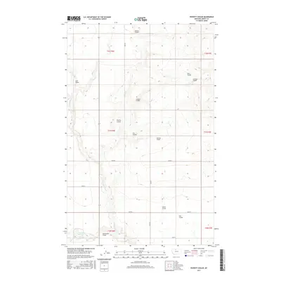
2017 Map of Poverty Coulee
USGS Topo · Published 2017About this map
Cottonwood Cr winds through a landscape of deeply etched drainages in this portion of Liberty County. The terrain is defined by its coulees—steep-walled valleys typically dry during much of the year—which suggest the erosive power of seasonal runoff across the high plains. Named features like Poverty Coulee, Manton Coulee, and Twelvemile Coulee offer specific landmarks for those tracing family ties to the area's homesteading history or ranching operations.
Find a feature on this map
26 named features on this map. Tap any name to fly to it.
Don’t see what you’re looking for? This feature index may not catch every label — zoom into the map to look around manually.
Map Details
Editions of this 2017 Poverty Coulee Map
This is the sole edition of this map. No revisions or reprints were ever made.
Other maps of this area

1919 · Alma
USGS Topo · 1:125,000

1954 · Shelby
USGS Topo · 1:250,000

1958 · Shelby
USGS Topo · 1:250,000

1962 · Tiber
USGS Topo · 1:24,000

1963 · Joplin
USGS Topo · 1:24,000

1963 · Chester
USGS Topo · 1:24,000

1970 · Circle Bridge
USGS Topo · 1:24,000

1970 · Poverty Coulee NE
USGS Topo · 1:24,000

1970 · Sagebrush Coulee
USGS Topo · 1:24,000

1970 · Poverty Coulee SE
USGS Topo · 1:24,000