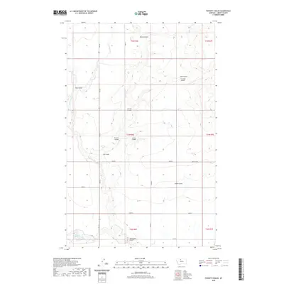
2020 Map of Poverty Coulee
USGS Topo · Published 2020About this map
Cottonwood Cr winds through this Liberty County landscape, cutting a deep path through the high plains of northern Montana. This 2020 survey illustrates a region defined by its drainage network, where numerous coulees—including Manton Coulee, Tiber Coulee, and the eponymous Poverty Coulee—carve into the terrain. The presence of Gagnon Reservoir in the southwest corner and features like Stellner Coulee and Loranger Coulee suggest a history of family ranching and water management in an area otherwise dominated by the vast, open stretches typical of the Big Sky Country.
Find a feature on this map
27 named features on this map. Tap any name to fly to it.
Don’t see what you’re looking for? This feature index may not catch every label — zoom into the map to look around manually.
Map Details
Editions of this 2020 Poverty Coulee Map
This is the sole edition of this map. No revisions or reprints were ever made.
Other maps of this area

1919 · Alma
USGS Topo · 1:125,000

1954 · Shelby
USGS Topo · 1:250,000

1958 · Shelby
USGS Topo · 1:250,000

1962 · Tiber
USGS Topo · 1:24,000

1963 · Joplin
USGS Topo · 1:24,000

1963 · Chester
USGS Topo · 1:24,000

1970 · Circle Bridge
USGS Topo · 1:24,000

1970 · Poverty Coulee NE
USGS Topo · 1:24,000

1970 · Sagebrush Coulee
USGS Topo · 1:24,000

1970 · Poverty Coulee SE
USGS Topo · 1:24,000