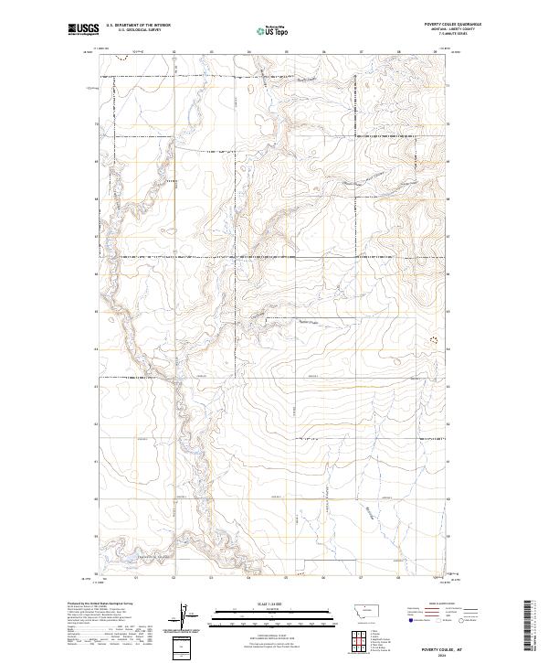
2024 Map of Poverty Coulee
USGS Topo · Published 2024About this map
Cottonwood Creek and its complex network of drainage ravines define this section of Liberty County, Montana. The terrain is characterized by numerous named coulees, including Poverty Coulee, Manton Coulee, and Nutt Coulee, which cut through the landscape toward larger watercourses. In the southern reaches of the quadrangle, Twelvemile Coulee feeds into the Gagnon Reservoir, a rare point of standing water in this semi-arid environment. The road network follows the rigid Public Land Survey System grid, with routes like 4000 Rd S and 1600 Rd E providing access to this agricultural and ranching region. The abundance of family-named features such as Clausen Coulee, Stellner Coulee, and Kjar Coulee suggests a history of long-established homesteads and local landholdings that have shaped the contemporary map.
Find a feature on this map
27 named features on this map. Tap any name to fly to it.
Don’t see what you’re looking for? This feature index may not catch every label — zoom into the map to look around manually.
Map Details
Editions of this 2024 Poverty Coulee Map
This is the sole edition of this map. No revisions or reprints were ever made.
Other maps of this area

1919 · Alma
USGS Topo · 1:125,000

1954 · Shelby
USGS Topo · 1:250,000

1958 · Shelby
USGS Topo · 1:250,000

1962 · Tiber
USGS Topo · 1:24,000

1963 · Joplin
USGS Topo · 1:24,000

1963 · Chester
USGS Topo · 1:24,000

1970 · Circle Bridge
USGS Topo · 1:24,000

1970 · Poverty Coulee NE
USGS Topo · 1:24,000

1970 · Sagebrush Coulee
USGS Topo · 1:24,000

1970 · Poverty Coulee SE
USGS Topo · 1:24,000