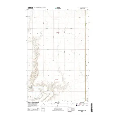
2014 Map of Poverty Coulee SE
USGS Topo · Published 2014About this map
The Marias River carves a deep, winding path through the southern reaches of this landscape, defining the rugged topography of the High Plains in Hill County. The terrain is marked by a series of dramatic coulees, including Kjar Coulee in the north and Wolfe Coulee near the river, illustrating how water has shaped this arid environment over time. A disciplined grid of section roads, such as S Joplin Rd and 2000 Rd E, overlays the natural drainage systems of Cottonwood Cr and Eightmile Coulee. This 2014 survey captures the intersection of large-scale agricultural land management and the ancient river-cut geography along the Liberty and Hill County line. The proximity of Mt-366 and a network of numbered rural roads suggests a landscape focused on ranching and regional connectivity between remote Montana settlements.
Find a feature on this map
22 named features on this map. Tap any name to fly to it.
Don’t see what you’re looking for? This feature index may not catch every label — zoom into the map to look around manually.
Map Details
Editions of this 2014 Poverty Coulee SE Map
This is the sole edition of this map. No revisions or reprints were ever made.
Other maps of this area

1954 · Shelby
USGS Topo · 1:250,000

1958 · Shelby
USGS Topo · 1:250,000

1969 · Dutch Henry Coulee
USGS Topo · 1:24,000

1970 · Circle Bridge
USGS Topo · 1:24,000

1970 · Poverty Coulee NE
USGS Topo · 1:24,000

1970 · Penzer School
USGS Topo · 1:24,000

1970 · Poverty Coulee SE
USGS Topo · 1:24,000

1970 · Goose Bill Butte NW
USGS Topo · 1:24,000

1970 · Rocky Coulee SW
USGS Topo · 1:24,000

1970 · Rocky Coulee
USGS Topo · 1:24,000