
1970 Map of Rocky Coulee SW
USGS Topo · Published 1973About this map
The Marias River carves a deep, winding path through the southern portion of this landscape, its steep banks and complex terrain contrasting sharply with the northern upland plains. This 1970 field check was conducted as part of the Department of the Interior's Missouri River Basin development program, documenting a territory defined by high-plains drainage systems. Long drainage features such as Black Coulee, Flat Coulee, and Eightmile Coulee shape the land, directing seasonal runoff toward the river. A lone Gaging Sta stands along the riverbank, an essential marker for monitoring the water levels of this critical prairie waterway. The map provides a detailed view of the remote topographical contours and the network of fence lines and unimproved roads that connected the scattered agricultural sections of Hill County during the early 1970s.
Find a feature on this map
5 named features on this map. Tap any name to fly to it.
Don’t see what you’re looking for? This feature index may not catch every label — zoom into the map to look around manually.
Map Details
Editions of this 1970 Rocky Coulee SW Map
This is the sole edition of this map. No revisions or reprints were ever made.
Other maps of this area

1954 · Shelby
USGS Topo · 1:250,000

1958 · Shelby
USGS Topo · 1:250,000

1969 · Dutch Henry Coulee
USGS Topo · 1:24,000
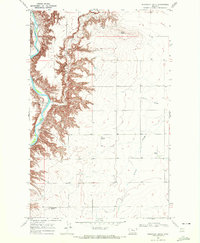
1969 · Discovery Butte
USGS Topo · 1:24,000

1970 · Poverty Coulee NE
USGS Topo · 1:24,000

1970 · Penzer School
USGS Topo · 1:24,000
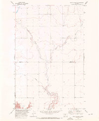
1970 · Rocky Coulee SE
USGS Topo · 1:24,000

1970 · Poverty Coulee SE
USGS Topo · 1:24,000

1970 · Rocky Coulee
USGS Topo · 1:24,000
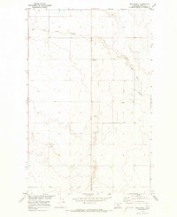
1970 · Een School
USGS Topo · 1:24,000