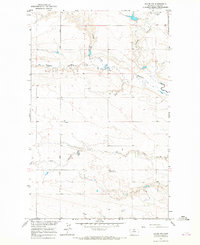
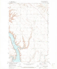
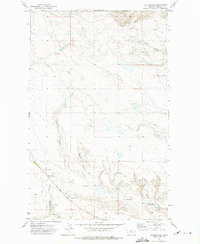
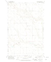
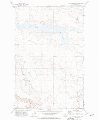
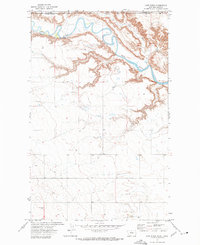
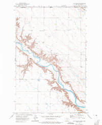
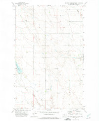
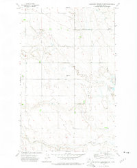
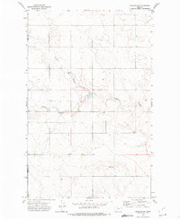
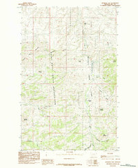
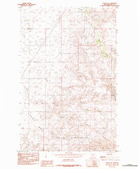
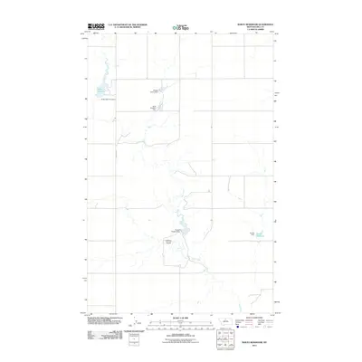
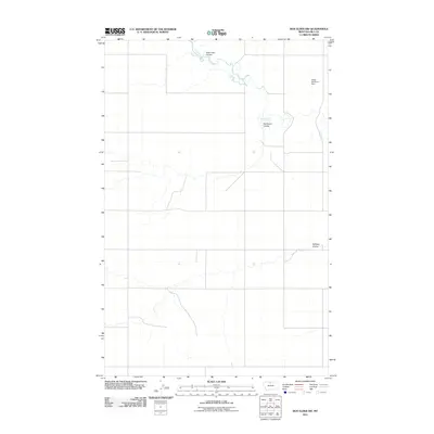
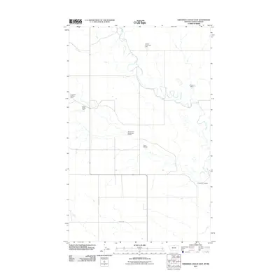
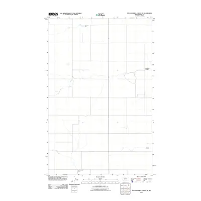
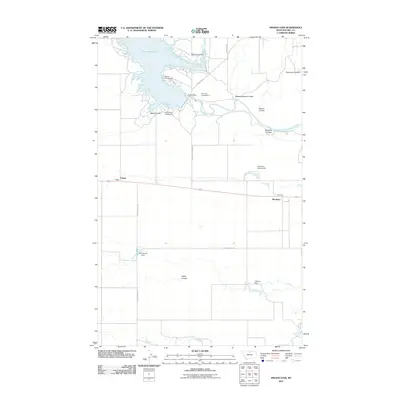
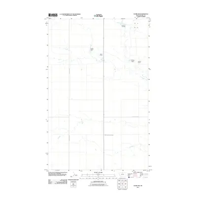
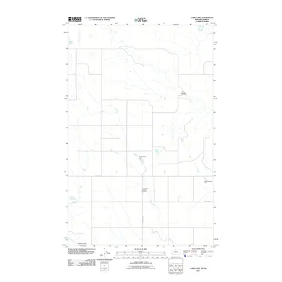
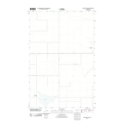
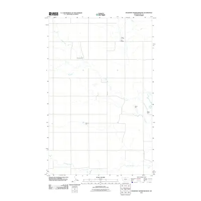
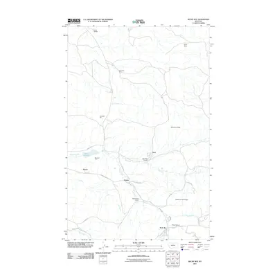
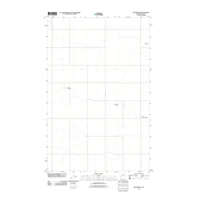
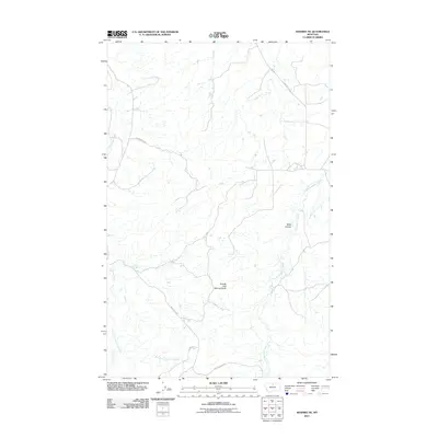
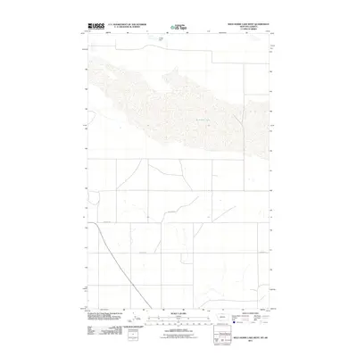
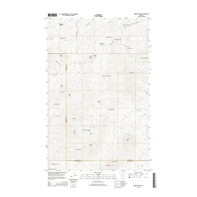
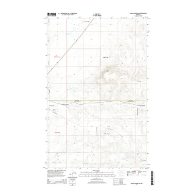
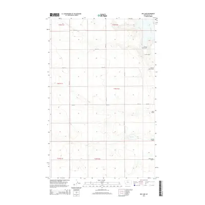
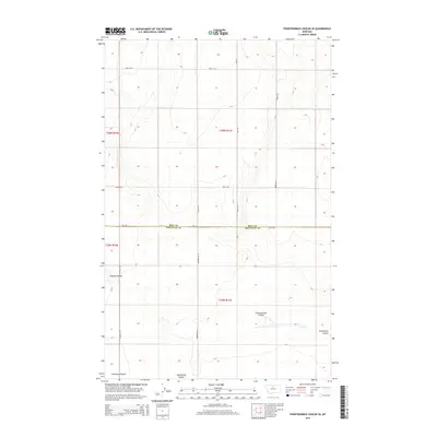
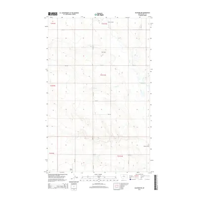
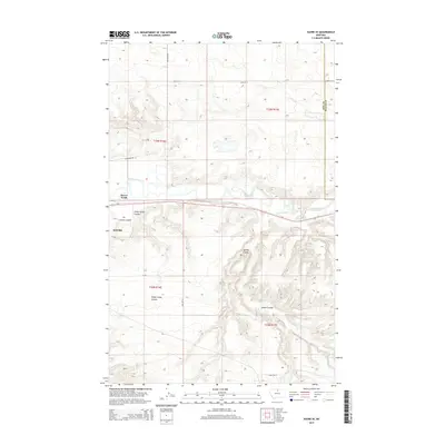
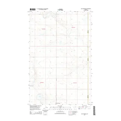
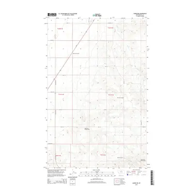
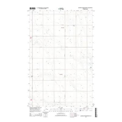
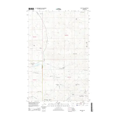
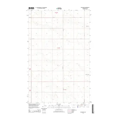
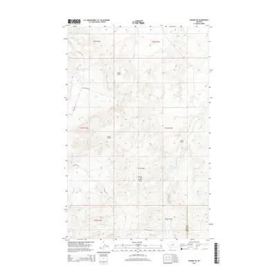
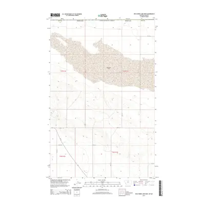
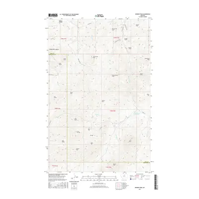
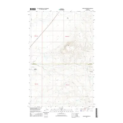
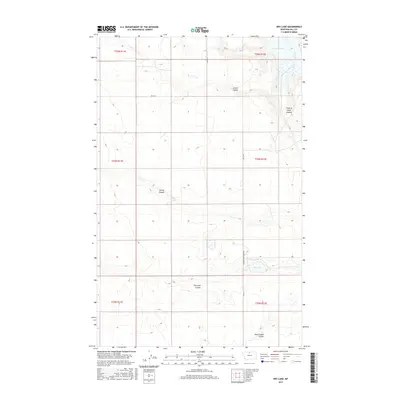
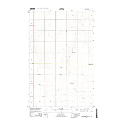
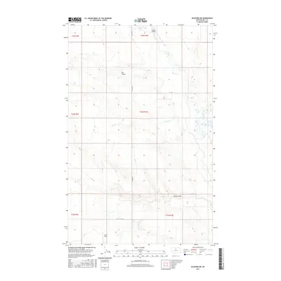
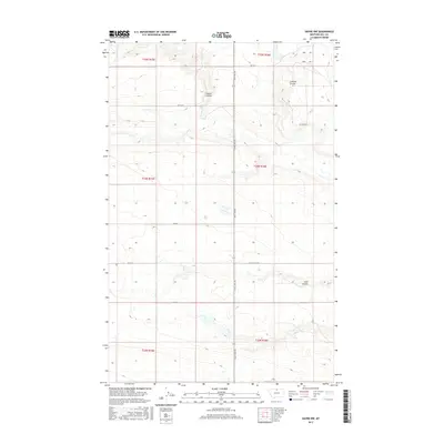
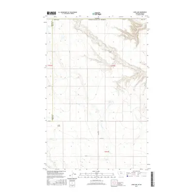
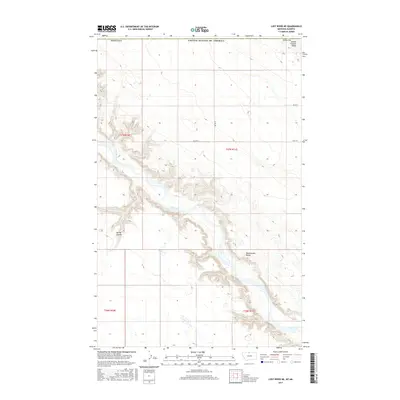
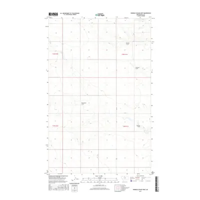
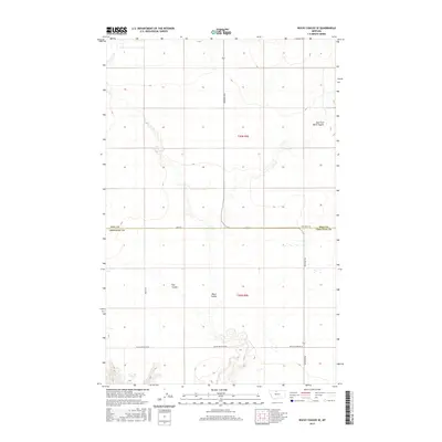
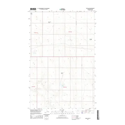
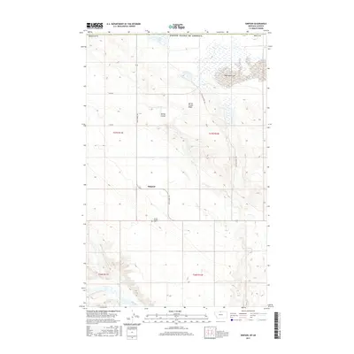
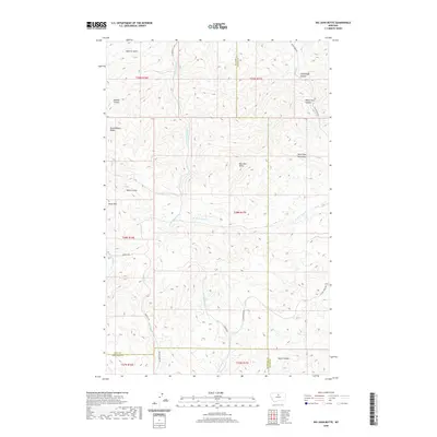
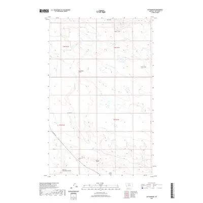
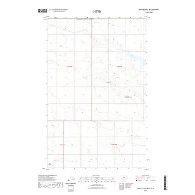
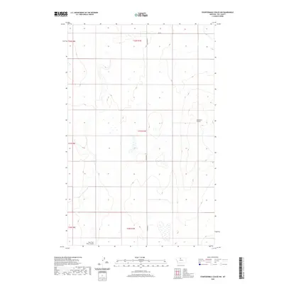
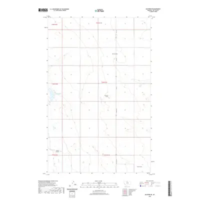
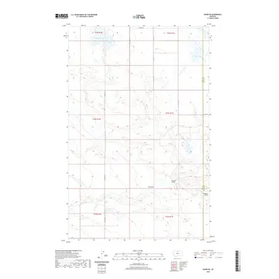
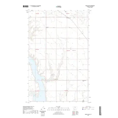
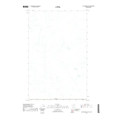
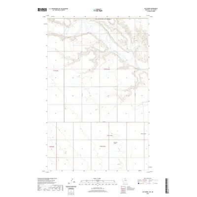
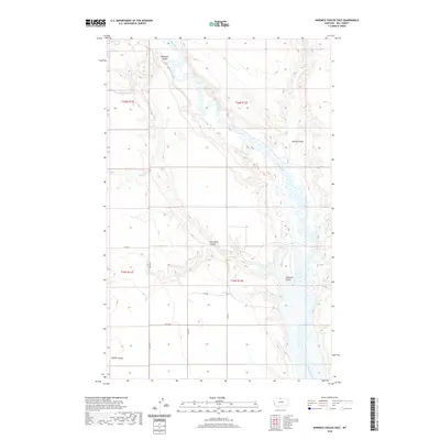
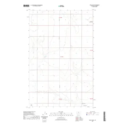
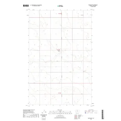
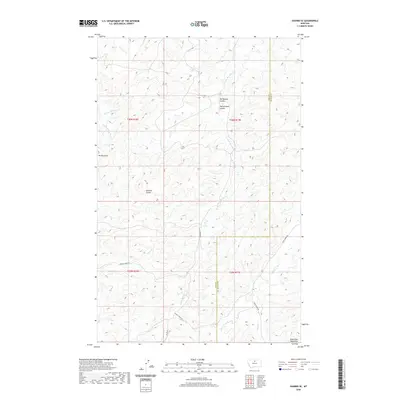
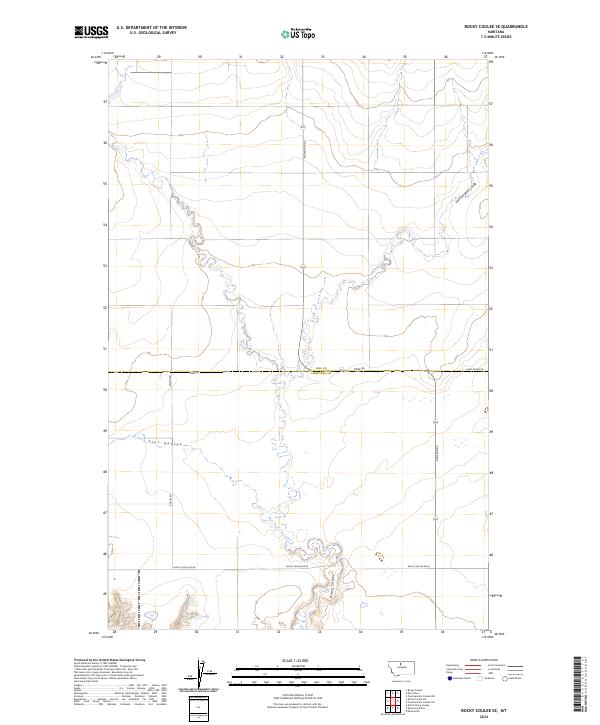
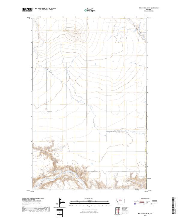
1970 Map of Rocky Coulee SE
USGS Topo · Published 1973About this map
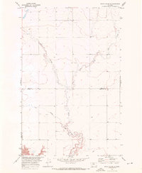
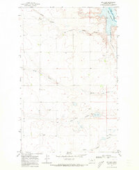
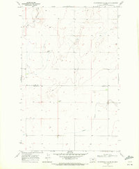
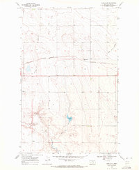
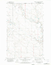
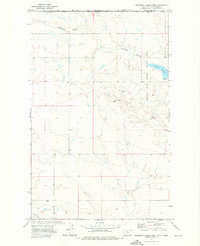
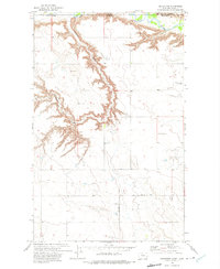
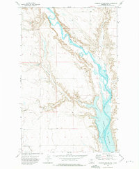
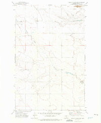
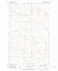
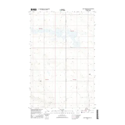
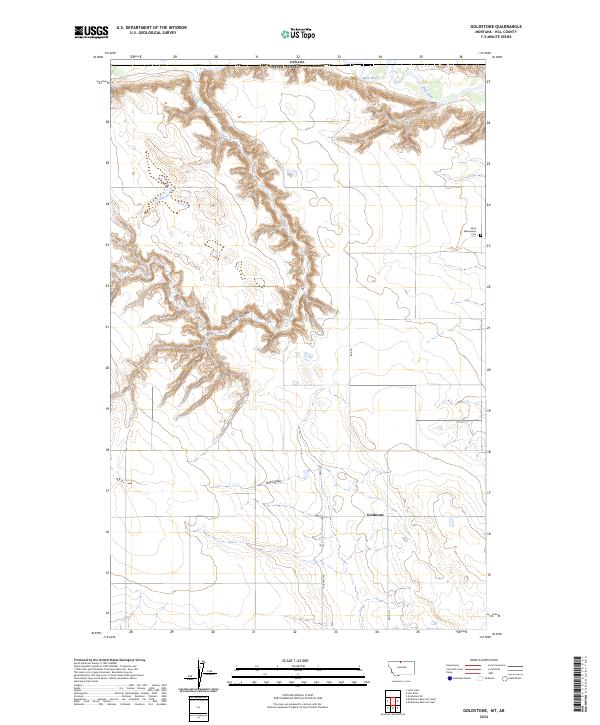
Black Coulee dominates this rural expanse on the border of Hill and Chouteau counties. Surveyed as part of the Missouri River Basin development program, the landscape is defined by the winding course of the East Fork Black Coulee and Flat Coulee as they carve through the high plains. The map reveals the intricate drainage patterns of the era, reflecting the hydrologic focus of the U.S. Bureau of Reclamation and Geological Survey during the early 1970s. This specific sheet captures the transition from the upland flats to the steep, eroded breaks of the coulee systems, providing a detailed record of the natural topography before modern land-use changes.
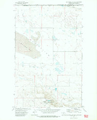
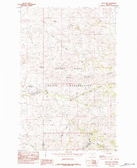
Find a feature on this map
4 named features on this map. Tap any name to fly to it.
Don’t see what you’re looking for? This feature index may not catch every label — zoom into the map to look around manually.
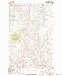
Map Details
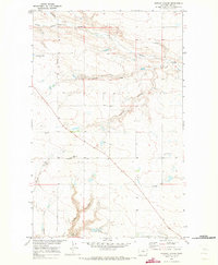
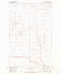
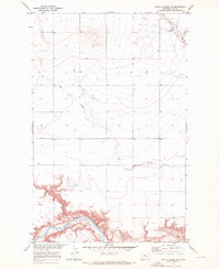
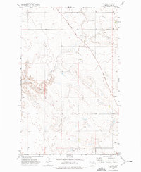
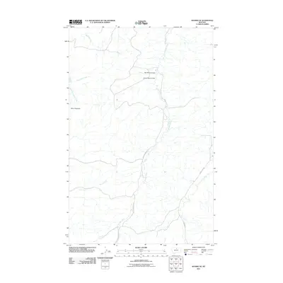
Editions of this 1970 Rocky Coulee SE Map
This is the sole edition of this map. No revisions or reprints were ever made.
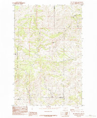
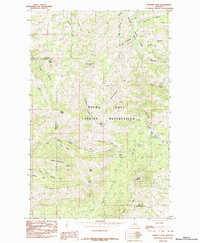
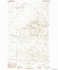
Historical Maps of Hill County Through Time
325 maps found
1904 Assinniboine
Hill County, MT

1904 Boxelder
Hill County, MT

1906 Boxelder
Hill County, MT

1912 Thibedeau Lake
Hill County, MT

1919 Alma
Hill County, MT
1959 Shambo
Hill County, MT
1964 Havre NE
Hill County, MT
1964 Havre NW
Hill County, MT
1964 Havre SE
Hill County, MT
1969 Bailey Reservoir
Hill County, MT
1969 Box Elder NW
Hill County, MT
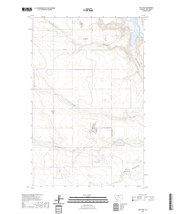
1969 Dry Lake
Hill County, MT
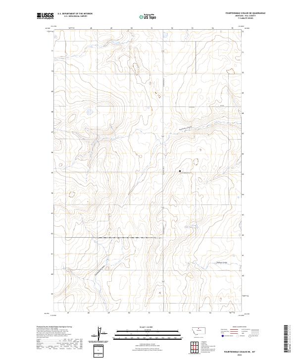
1969 Fourteenmile Coulee NE
Hill County, MT
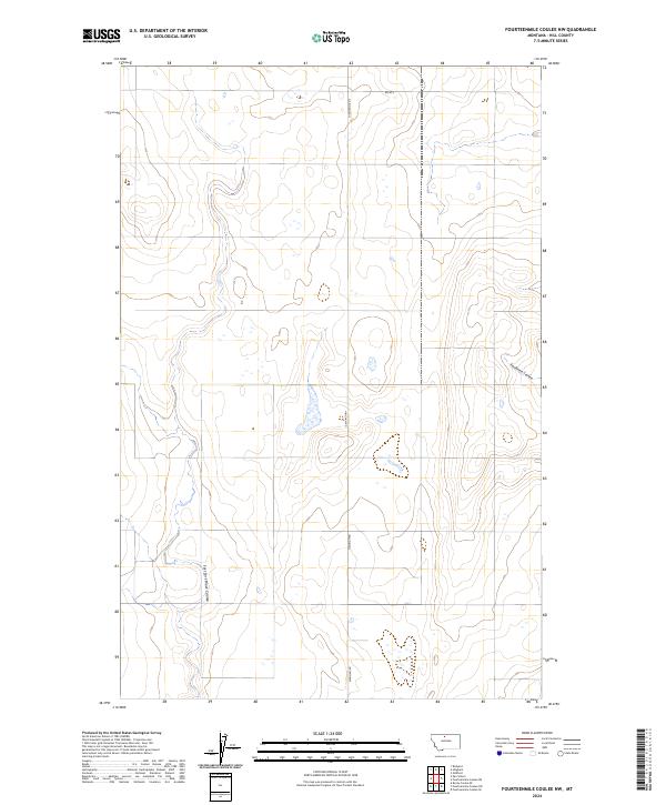
1969 Fourteenmile Coulee NW
Hill County, MT
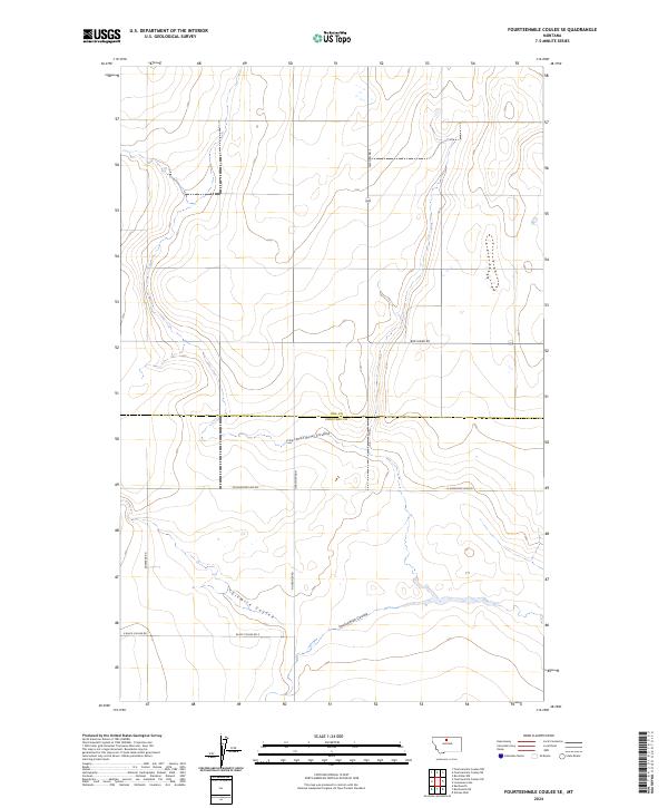
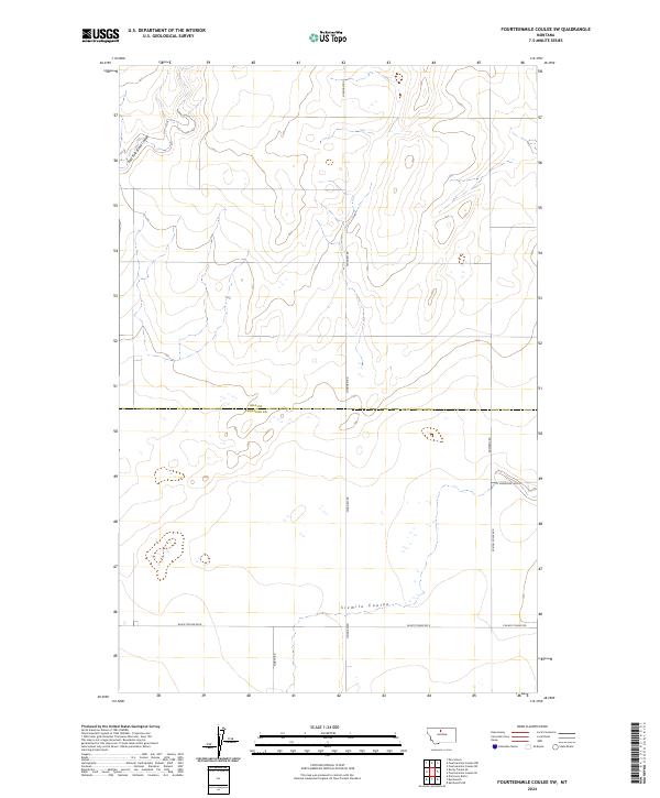
1969 Fourteenmile Coulee SE
Hill County, MT
1969 Fourteenmile Coulee SW
Hill County, MT
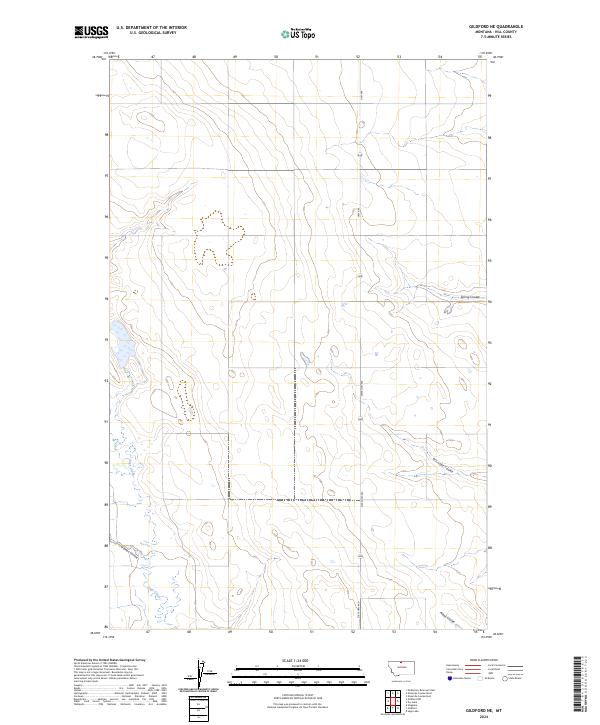
1969 Gildford NE
Hill County, MT
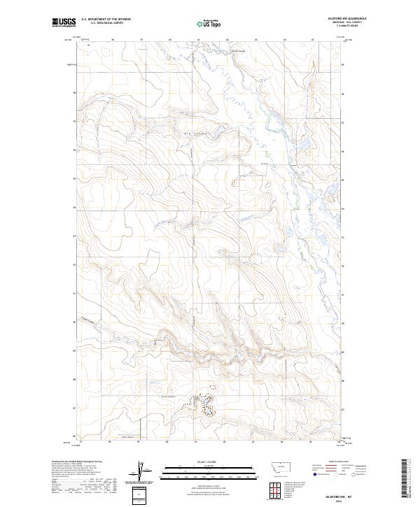
1969 Gildford NW
Hill County, MT
1969 Lonesome Lake
Hill County, MT
1969 Sage Lake
Hill County, MT
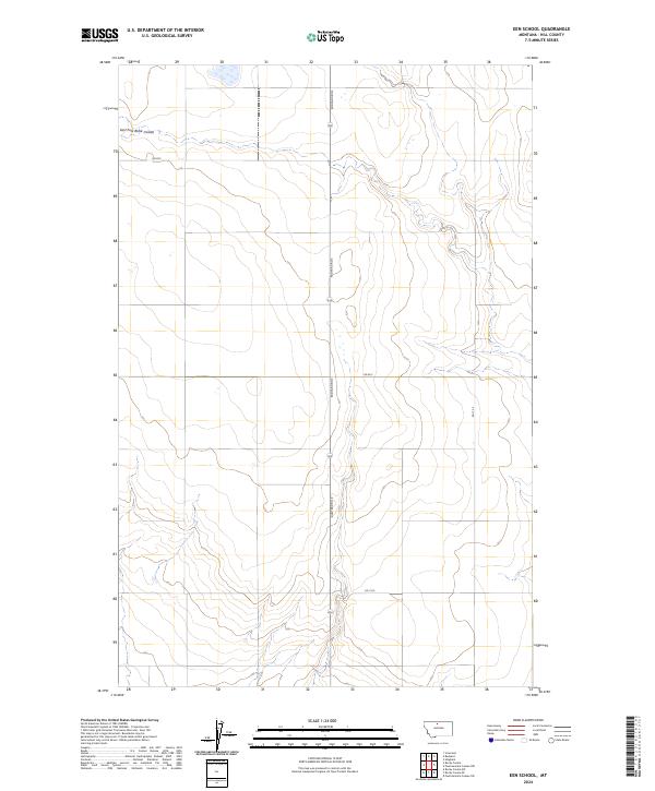
1970 Een School
Hill County, MT
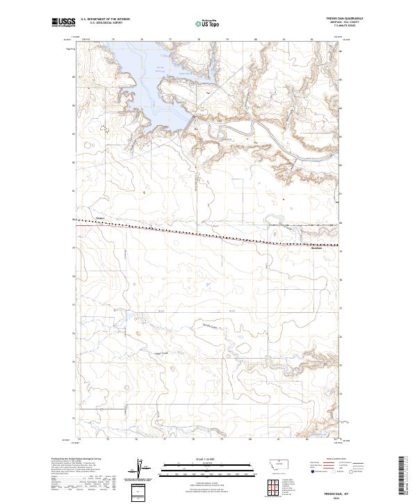
1970 Fresno Dam
Hill County, MT
1970 Herron Park
Hill County, MT
1970 Kiehns Coulee
Hill County, MT
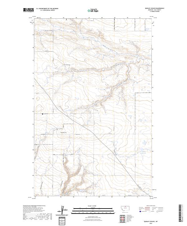
1970 Quigley Coulee
Hill County, MT
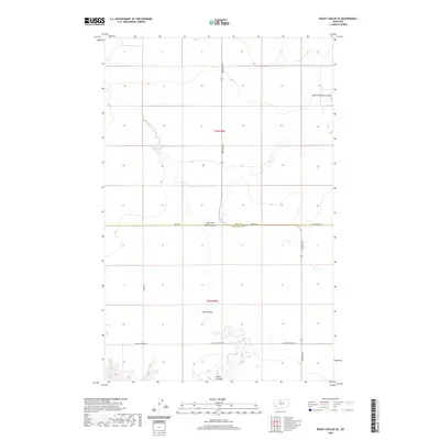
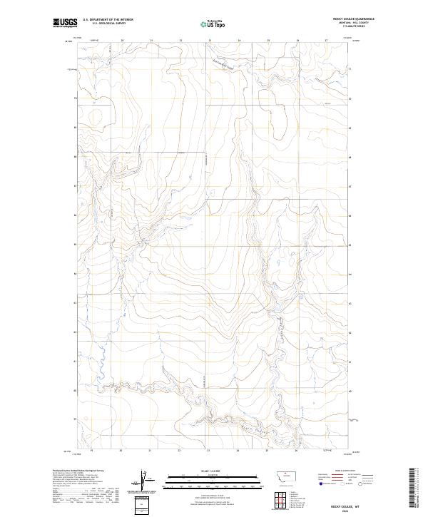
1970 Rocky Coulee
Hill County, MT
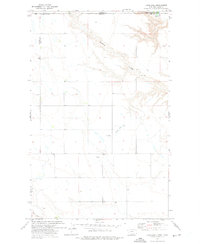
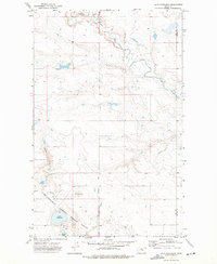
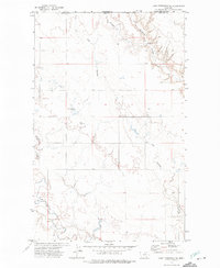
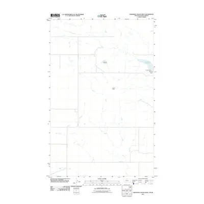
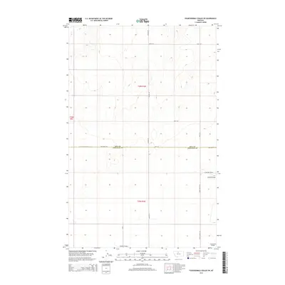
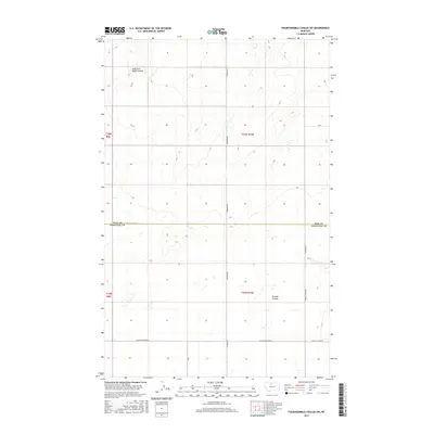
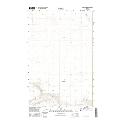
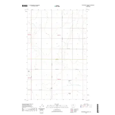
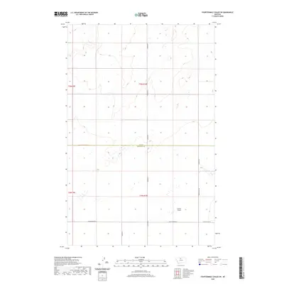
1970 Rocky Coulee SE
Hill County, MT
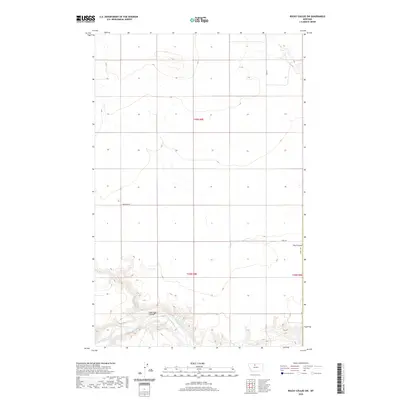
1970 Rocky Coulee SW
Hill County, MT
1972 Cottonwood
Hill County, MT
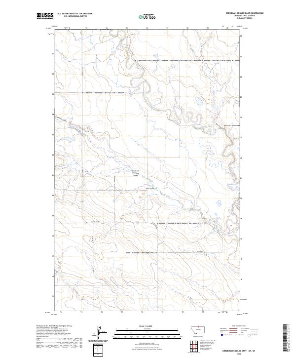
1972 Creedman Coulee East
Hill County, MT
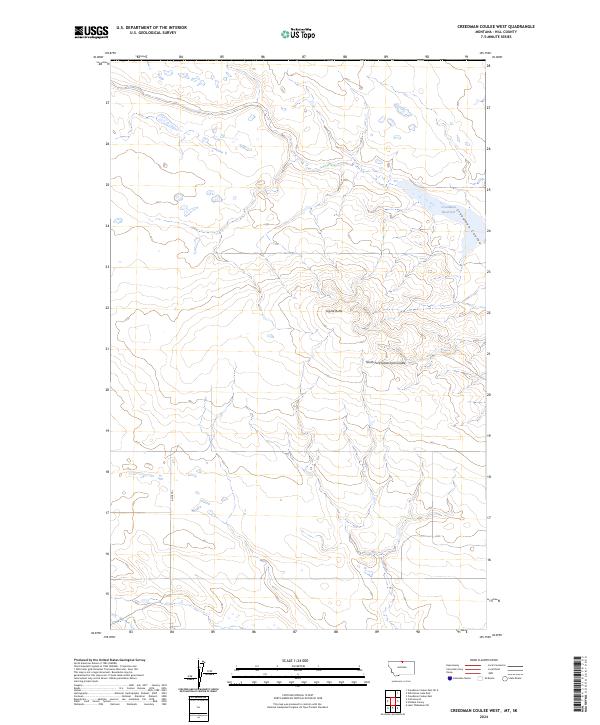
1972 Creedman Coulee West
Hill County, MT
1972 Goldstone
Hill County, MT
1972 Goldstone SW
Hill County, MT
1972 Laird Lake
Hill County, MT
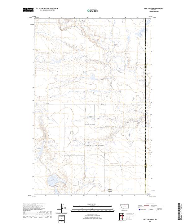
1972 Lake Thibadeau
Hill County, MT
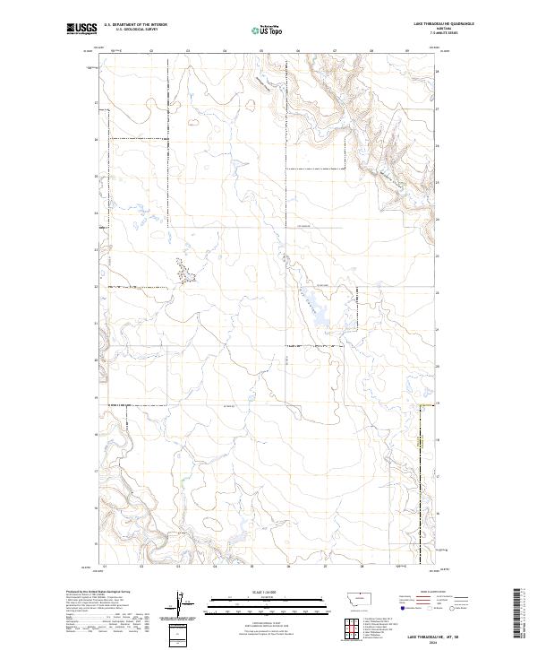
1972 Lake Thibadeau NE
Hill County, MT
1972 Lake Thibadeau SW
Hill County, MT
1972 Lost River
Hill County, MT
1972 Lost River NE
Hill County, MT
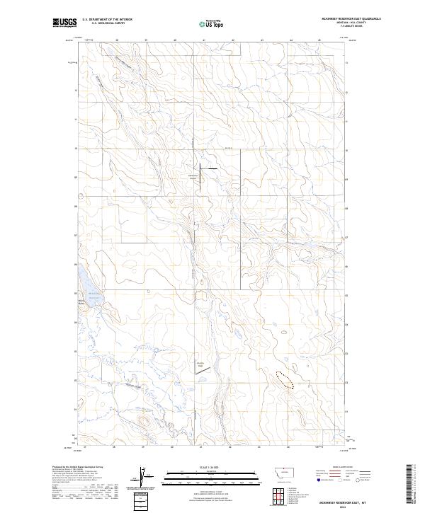
1972 Mc Kinnsey Reservoir East
Hill County, MT
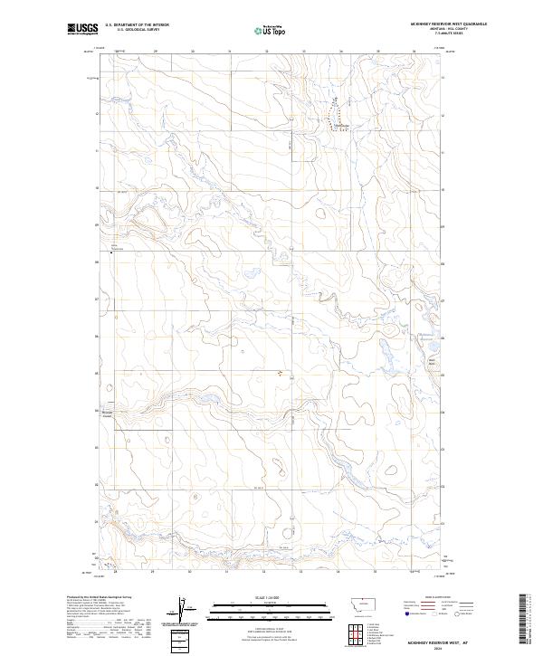
1972 Mc Kinnsey Reservoir West
Hill County, MT
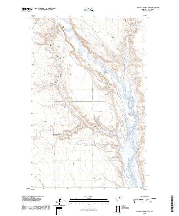
1972 Ninemile Coulee East
Hill County, MT
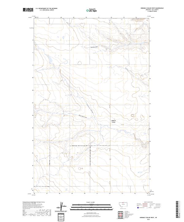
1972 Ninemile Coulee West
Hill County, MT
1972 Rudyard NE
Hill County, MT
1972 Rudyard NW
Hill County, MT
1972 St. Johns
Hill County, MT
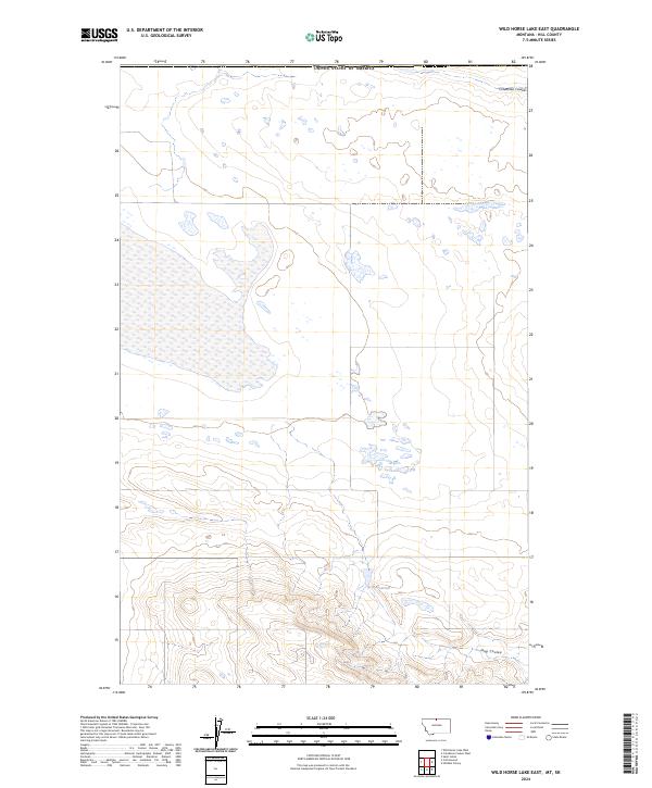
1972 Wild Horse Lake East
Hill County, MT
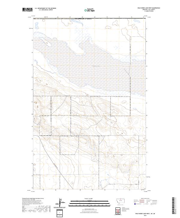
1972 Wild Horse Lake West
Hill County, MT
1984 Bearpaw Lake
Hill County, MT
1984 Big John Butte
Hill County, MT
1984 Bowery Peak
Hill County, MT

1984 Cement Hill
Hill County, MT
1984 Cowan Reservoir
Hill County, MT
1984 Laredo NE
Hill County, MT
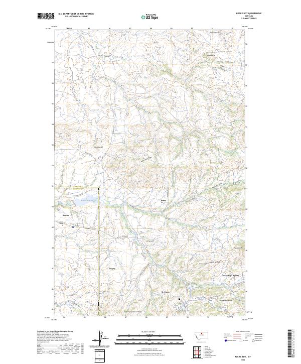
1984 Rocky Boy
Hill County, MT
1984 Shambo NE
Hill County, MT
1984 Shambo SE
Hill County, MT
2011 Bailey Reservoir
Hill County, MT
2011 Bearpaw Lake
Hill County, MT
2011 Big John Butte
Hill County, MT
2011 Bowery Peak
Hill County, MT
2011 Box Elder NW
Hill County, MT
2011 Cement Hill
Hill County, MT
2011 Cottonwood
Hill County, MT
2011 Cowan Reservoir
Hill County, MT
2011 Creedman Coulee East
Hill County, MT
2011 Creedman Coulee West
Hill County, MT
2011 Dry Lake
Hill County, MT
2011 Een School
Hill County, MT
2011 Fourteenmile Coulee NE
Hill County, MT
2011 Fourteenmile Coulee NW
Hill County, MT
2011 Fourteenmile Coulee SE
Hill County, MT
2011 Fourteenmile Coulee SW
Hill County, MT
2011 Fresno Dam
Hill County, MT
2011 Gildford NE
Hill County, MT
2011 Gildford NW
Hill County, MT

2011 Goldstone
Hill County, MT
2011 Goldstone SW
Hill County, MT

2011 Havre NE
Hill County, MT
2011 Havre NW
Hill County, MT
2011 Havre SE
Hill County, MT
2011 Herron Park
Hill County, MT
2011 Kiehns Coulee
Hill County, MT
2011 Laird Lake
Hill County, MT
2011 Lake Thibadeau
Hill County, MT
2011 Lake Thibadeau NE
Hill County, MT
2011 Lake Thibadeau SW
Hill County, MT

2011 Laredo NE
Hill County, MT
2011 Lonesome Lake
Hill County, MT
2011 Lost River
Hill County, MT
2011 Lost River NE
Hill County, MT
2011 McKinnsey Reservoir East
Hill County, MT
2011 McKinnsey Reservoir West
Hill County, MT
2011 Ninemile Coulee East
Hill County, MT
2011 Ninemile Coulee West
Hill County, MT
2011 Quigley Coulee
Hill County, MT
2011 Rocky Boy
Hill County, MT
2011 Rocky Coulee
Hill County, MT
2011 Rocky Coulee SE
Hill County, MT
2011 Rocky Coulee SW
Hill County, MT
2011 Rudyard NE
Hill County, MT
2011 Rudyard NW
Hill County, MT
2011 Sage Lake
Hill County, MT
2011 Saint Johns
Hill County, MT
2011 Shambo NE
Hill County, MT
2011 Shambo SE
Hill County, MT
2011 Simpson
Hill County, MT
2011 Wild Horse Lake East
Hill County, MT
2011 Wild Horse Lake West
Hill County, MT
2014 Bailey Reservoir
Hill County, MT
2014 Bearpaw Lake
Hill County, MT
2014 Big John Butte
Hill County, MT
2014 Bowery Peak
Hill County, MT
2014 Box Elder NW
Hill County, MT
2014 Cement Hill
Hill County, MT
2014 Cottonwood
Hill County, MT
2014 Cowan Reservoir
Hill County, MT
2014 Creedman Coulee East
Hill County, MT
2014 Creedman Coulee East OE N
Hill County, MT
2014 Creedman Coulee West
Hill County, MT
2014 Dry Lake
Hill County, MT
2014 Een School
Hill County, MT
2014 Fourteenmile Coulee NE
Hill County, MT
2014 Fourteenmile Coulee NW
Hill County, MT
2014 Fourteenmile Coulee SE
Hill County, MT
2014 Fourteenmile Coulee SW
Hill County, MT
2014 Fresno Dam
Hill County, MT
2014 Gildford NE
Hill County, MT
2014 Gildford NW
Hill County, MT

2014 Goldstone
Hill County, MT
2014 Goldstone SW
Hill County, MT
2014 Havre NE
Hill County, MT
2014 Havre NW
Hill County, MT
2014 Havre SE
Hill County, MT
2014 Herron Park
Hill County, MT
2014 Kiehns Coulee
Hill County, MT
2014 Laird Lake
Hill County, MT
2014 Lake Thibadeau
Hill County, MT
2014 Lake Thibadeau NE
Hill County, MT
2014 Lake Thibadeau NE OE N
Hill County, MT
2014 Lake Thibadeau SW
Hill County, MT
2014 Laredo NE
Hill County, MT
2014 Lonesome Lake
Hill County, MT

2014 Lost River
Hill County, MT
2014 Lost River NE
Hill County, MT
2014 McKinnsey Reservoir East
Hill County, MT
2014 McKinnsey Reservoir West
Hill County, MT
2014 Ninemile Coulee East
Hill County, MT
2014 Ninemile Coulee West
Hill County, MT
2014 Quigley Coulee
Hill County, MT
2014 Rocky Boy
Hill County, MT
2014 Rocky Coulee
Hill County, MT
2014 Rocky Coulee SE
Hill County, MT
2014 Rocky Coulee SW
Hill County, MT
2014 Rudyard NE
Hill County, MT
2014 Rudyard NW
Hill County, MT
2014 Sage Lake
Hill County, MT
2014 Saint Johns
Hill County, MT
2014 Shambo NE
Hill County, MT
2014 Shambo SE
Hill County, MT
2014 Simpson
Hill County, MT
2014 Wild Horse Lake East
Hill County, MT
2014 Wild Horse Lake West
Hill County, MT
2017 Bailey Reservoir
Hill County, MT
2017 Bearpaw Lake
Hill County, MT
2017 Big John Butte
Hill County, MT
2017 Bowery Peak
Hill County, MT
2017 Box Elder NW
Hill County, MT
2017 Cement Hill
Hill County, MT
2017 Cottonwood
Hill County, MT
2017 Cowan Reservoir
Hill County, MT
2017 Creedman Coulee East
Hill County, MT
2017 Creedman Coulee East OE N
Hill County, MT
2017 Creedman Coulee West
Hill County, MT
2017 Dry Lake
Hill County, MT
2017 Een School
Hill County, MT
2017 Fourteenmile Coulee NE
Hill County, MT
2017 Fourteenmile Coulee NW
Hill County, MT
2017 Fourteenmile Coulee SE
Hill County, MT
2017 Fourteenmile Coulee SW
Hill County, MT
2017 Fresno Dam
Hill County, MT
2017 Gildford NE
Hill County, MT
2017 Gildford NW
Hill County, MT
2017 Goldstone
Hill County, MT
2017 Goldstone SW
Hill County, MT
2017 Havre NE
Hill County, MT
2017 Havre NW
Hill County, MT
2017 Havre SE
Hill County, MT
2017 Herron Park
Hill County, MT
2017 Kiehns Coulee
Hill County, MT
2017 Laird Lake
Hill County, MT
2017 Lake Thibadeau
Hill County, MT
2017 Lake Thibadeau NE
Hill County, MT
2017 Lake Thibadeau NE OE N
Hill County, MT
2017 Lake Thibadeau SW
Hill County, MT
2017 Laredo NE
Hill County, MT
2017 Lonesome Lake
Hill County, MT
2017 Lost River
Hill County, MT
2017 Lost River NE
Hill County, MT
2017 McKinnsey Reservoir East
Hill County, MT
2017 McKinnsey Reservoir West
Hill County, MT
2017 Ninemile Coulee East
Hill County, MT
2017 Ninemile Coulee West
Hill County, MT
2017 Quigley Coulee
Hill County, MT
2017 Rocky Boy
Hill County, MT
2017 Rocky Coulee
Hill County, MT
2017 Rocky Coulee SE
Hill County, MT
2017 Rocky Coulee SW
Hill County, MT
2017 Rudyard NE
Hill County, MT
2017 Rudyard NW
Hill County, MT
2017 Sage Lake
Hill County, MT
2017 Saint Johns
Hill County, MT
2017 Shambo NE
Hill County, MT
2017 Shambo SE
Hill County, MT
2017 Simpson
Hill County, MT

2017 Wild Horse Lake East
Hill County, MT
2017 Wild Horse Lake West
Hill County, MT
2020 Bailey Reservoir
Hill County, MT
2020 Bearpaw Lake
Hill County, MT
2020 Big John Butte
Hill County, MT
2020 Bowery Peak
Hill County, MT
2020 Box Elder NW
Hill County, MT
2020 Cement Hill
Hill County, MT
2020 Cottonwood
Hill County, MT
2020 Cowan Reservoir
Hill County, MT
2020 Creedman Coulee East
Hill County, MT
2020 Creedman Coulee East OE N
Hill County, MT
2020 Creedman Coulee West
Hill County, MT
2020 Dry Lake
Hill County, MT
2020 Een School
Hill County, MT
2020 Fourteenmile Coulee NE
Hill County, MT
2020 Fourteenmile Coulee NW
Hill County, MT
2020 Fourteenmile Coulee SE
Hill County, MT
2020 Fourteenmile Coulee SW
Hill County, MT
2020 Fresno Dam
Hill County, MT
2020 Gildford NE
Hill County, MT
2020 Gildford NW
Hill County, MT
2020 Goldstone
Hill County, MT
2020 Goldstone SW
Hill County, MT
2020 Havre NE
Hill County, MT
2020 Havre NW
Hill County, MT
2020 Havre SE
Hill County, MT
2020 Herron Park
Hill County, MT
2020 Kiehns Coulee
Hill County, MT
2020 Laird Lake
Hill County, MT
2020 Lake Thibadeau
Hill County, MT
2020 Lake Thibadeau NE
Hill County, MT
2020 Lake Thibadeau NE OE N
Hill County, MT
2020 Lake Thibadeau SW
Hill County, MT
2020 Laredo NE
Hill County, MT
2020 Lonesome Lake
Hill County, MT
2020 Lost River
Hill County, MT
2020 Lost River NE
Hill County, MT
2020 McKinnsey Reservoir East
Hill County, MT
2020 McKinnsey Reservoir West
Hill County, MT
2020 Ninemile Coulee East
Hill County, MT
2020 Ninemile Coulee West
Hill County, MT
2020 Quigley Coulee
Hill County, MT
2020 Rocky Boy
Hill County, MT
2020 Rocky Coulee
Hill County, MT
2020 Rocky Coulee SE
Hill County, MT
2020 Rocky Coulee SW
Hill County, MT
2020 Rudyard NE
Hill County, MT
2020 Rudyard NW
Hill County, MT
2020 Sage Lake
Hill County, MT
2020 Saint Johns
Hill County, MT
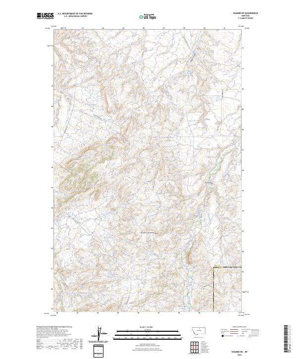
2020 Shambo NE
Hill County, MT
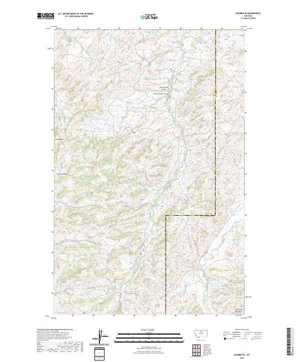
2020 Shambo SE
Hill County, MT
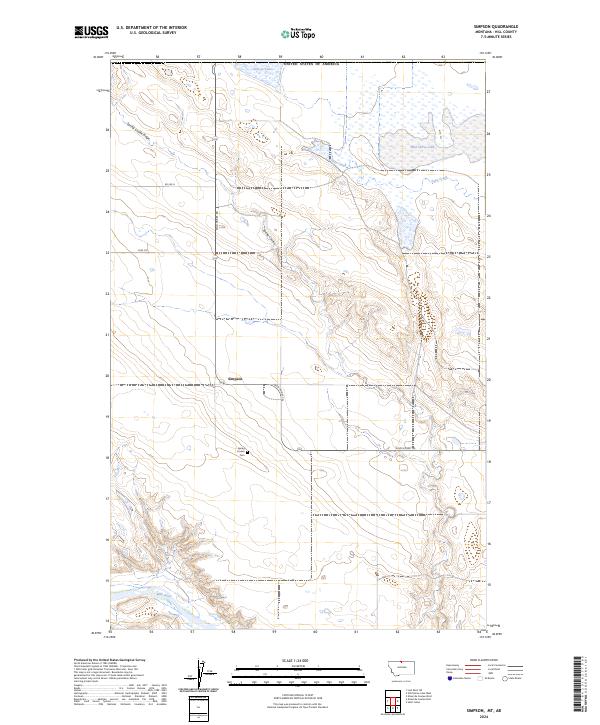
2020 Simpson
Hill County, MT
2020 Wild Horse Lake East
Hill County, MT
2020 Wild Horse Lake West
Hill County, MT
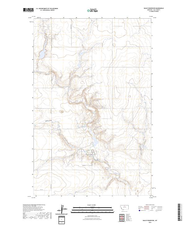
2024 Bailey Reservoir
Hill County, MT
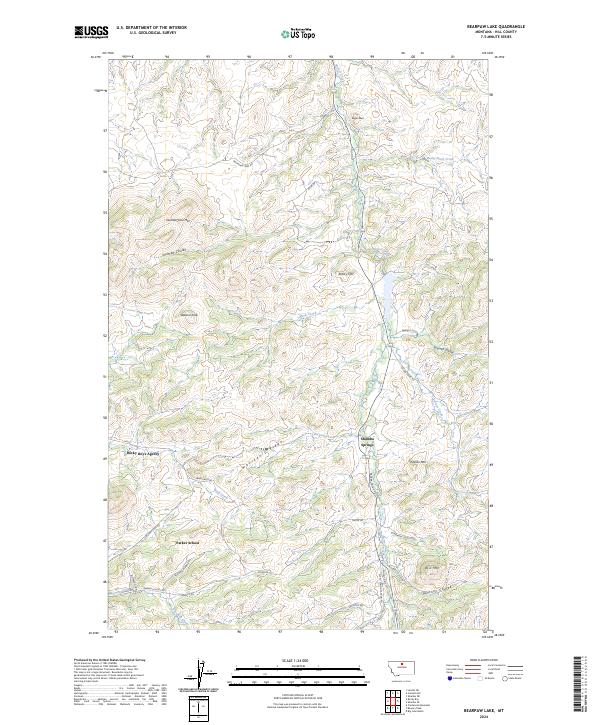
2024 Bearpaw Lake
Hill County, MT
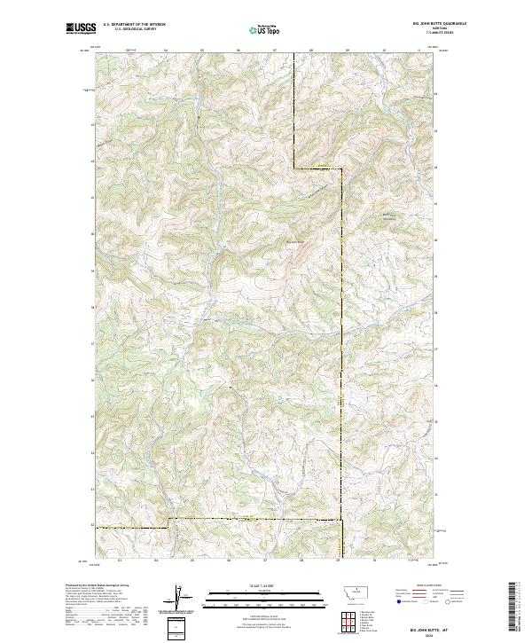
2024 Big John Butte
Hill County, MT
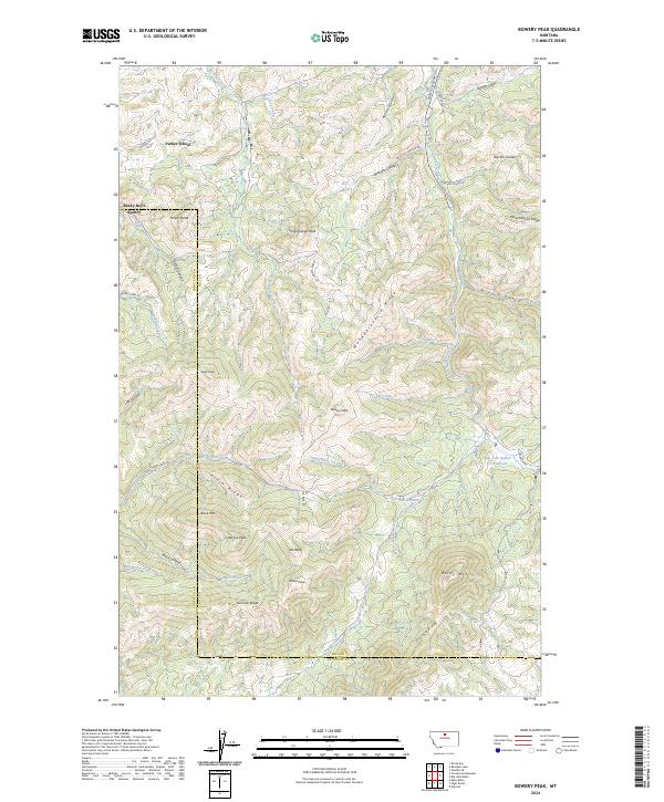
2024 Bowery Peak
Hill County, MT
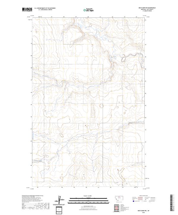
2024 Box Elder NW
Hill County, MT
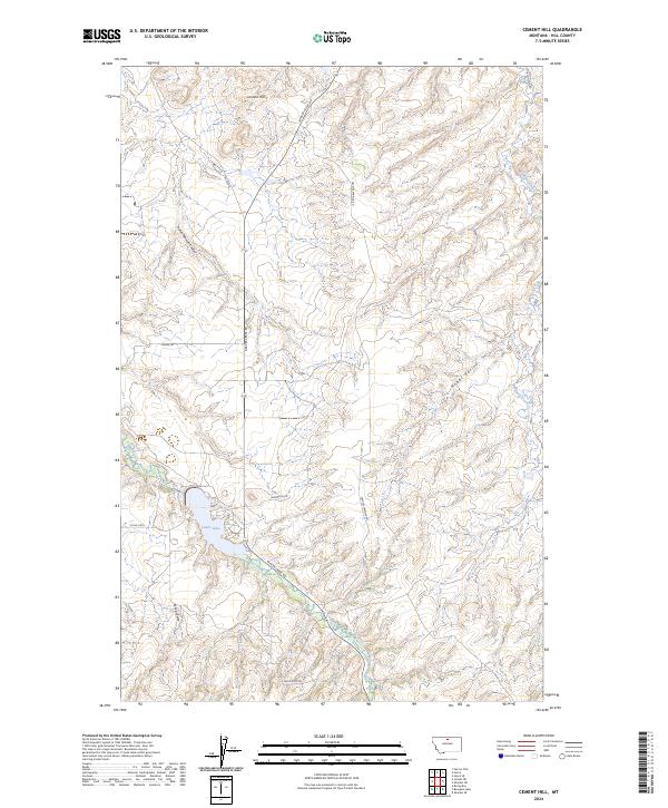
2024 Cement Hill
Hill County, MT
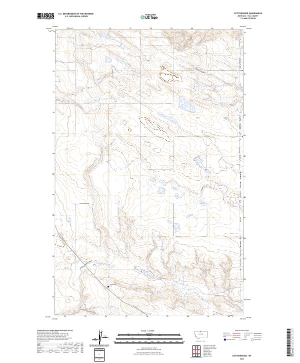
2024 Cottonwood
Hill County, MT
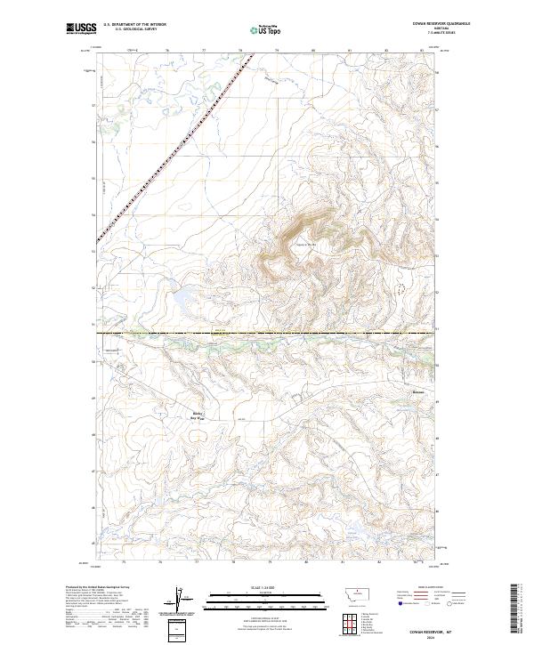
2024 Cowan Reservoir
Hill County, MT
2024 Creedman Coulee East
Hill County, MT
2024 Creedman Coulee East OE N
Hill County, MT
2024 Creedman Coulee West
Hill County, MT
2024 Dry Lake
Hill County, MT
2024 Een School
Hill County, MT
2024 Fourteenmile Coulee NE
Hill County, MT
2024 Fourteenmile Coulee NW
Hill County, MT
2024 Fourteenmile Coulee SE
Hill County, MT
2024 Fourteenmile Coulee SW
Hill County, MT
2024 Fresno Dam
Hill County, MT
2024 Gildford NE
Hill County, MT
2024 Gildford NW
Hill County, MT
2024 Goldstone
Hill County, MT
2024 Goldstone SW
Hill County, MT
2024 Havre NE
Hill County, MT
2024 Havre NW
Hill County, MT
2024 Havre SE
Hill County, MT
2024 Herron Park
Hill County, MT
2024 Kiehns Coulee
Hill County, MT
2024 Laird Lake
Hill County, MT
2024 Lake Thibadeau
Hill County, MT
2024 Lake Thibadeau NE
Hill County, MT
2024 Lake Thibadeau NE OE N
Hill County, MT
2024 Lake Thibadeau SW
Hill County, MT
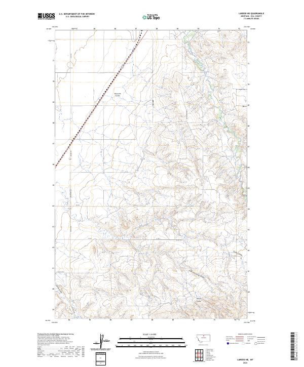
2024 Laredo NE
Hill County, MT
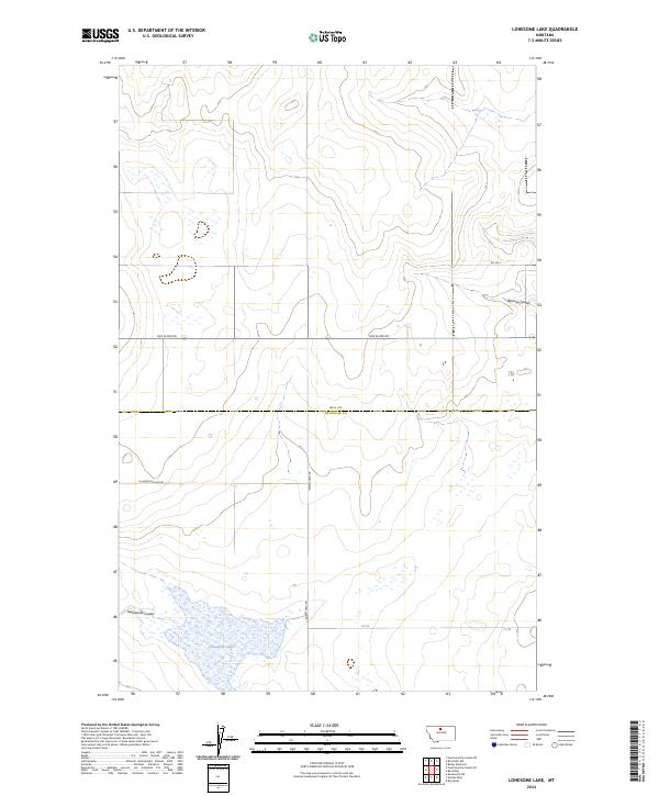
2024 Lonesome Lake
Hill County, MT
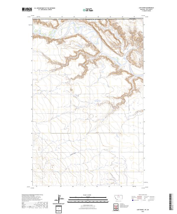
2024 Lost River
Hill County, MT
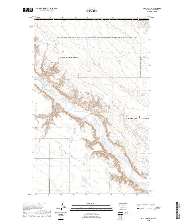
2024 Lost River NE
Hill County, MT
2024 McKinnsey Reservoir East
Hill County, MT
2024 McKinnsey Reservoir West
Hill County, MT
2024 Ninemile Coulee East
Hill County, MT
2024 Ninemile Coulee West
Hill County, MT
2024 Quigley Coulee
Hill County, MT
2024 Rocky Boy
Hill County, MT
2024 Rocky Coulee
Hill County, MT
2024 Rocky Coulee SE
Hill County, MT
2024 Rocky Coulee SW
Hill County, MT
2024 Rudyard NE
Hill County, MT
2024 Rudyard NW
Hill County, MT
2024 Sage Lake
Hill County, MT
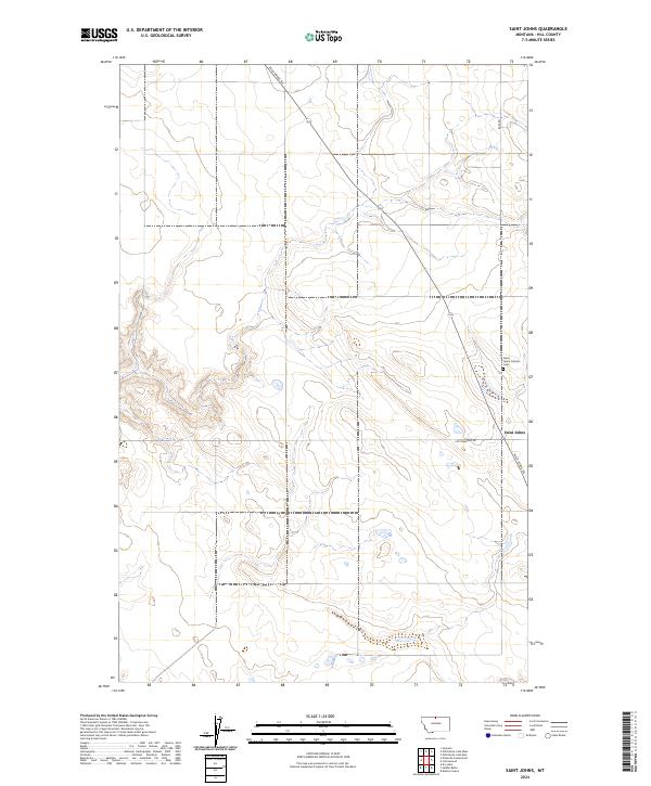
2024 Saint Johns
Hill County, MT
2024 Shambo NE
Hill County, MT
2024 Shambo SE
Hill County, MT
2024 Simpson
Hill County, MT
2024 Wild Horse Lake East
Hill County, MT
2024 Wild Horse Lake West
Hill County, MT