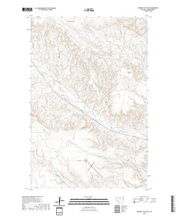
2024 Map of Poverty Flat East
USGS Topo · Published 2024About this map
Dawson Community Airport sits as a central navigational landmark in this region of eastern Montana, where the terrain transitions between elevated plateaus and carved drainage systems. High points like Glendive Butte and the expansive Threemile Table provide significant relief against the intricate network of coulees and creeks that define the landscape. The drainage patterns are dominated by Deer Creek, which winds southeast across the quadrangle, joined by smaller tributaries such as Crisafulli Creek and Cherry Coulee. This 2024 survey reflects a rural landscape shaped by long-standing township and range boundaries, where modern roads like Airport Rd and Dry Creek Rd follow the historical lines of settlement and topography.
Find a feature on this map
17 named features on this map. Tap any name to fly to it.
Don’t see what you’re looking for? This feature index may not catch every label — zoom into the map to look around manually.
Map Details
Editions of this 2024 Poverty Flat East Map
This is the sole edition of this map. No revisions or reprints were ever made.
Other maps of this area

1909 · Glendive
USGS Topo · 1:250,000

1954 · Glendive
USGS Topo · 1:250,000

1957 · Glendive
USGS Topo · 1:250,000

1958 · Glendive
USGS Topo · 1:250,000

1966 · Kolberg Ranch
USGS Topo · 1:24,000

1967 · Stipek
USGS Topo · 1:24,000
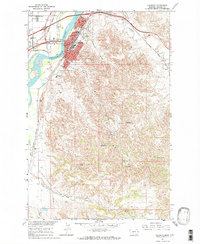
1967 · Glendive
USGS Topo · 1:24,000
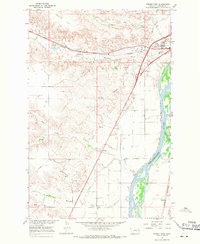
1967 · Forest Park
USGS Topo · 1:24,000

1972 · Morgan Creek School
USGS Topo · 1:24,000
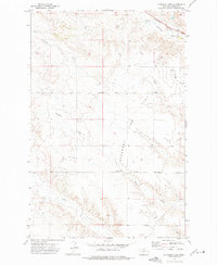
1972 · Pleasant View
USGS Topo · 1:24,000