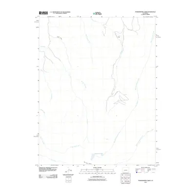
2010 Map of Powderhorn Lakes
USGS Topo · Published 2010About this map
Powderhorn Lakes sit at the southern reaches of this high-elevation terrain, where the headwaters of the region’s drainage systems begin their descent. The landscape is defined by a dense network of watercourses, including Trout Creek, Indian Creek, and Fourth of July Creek, which carve through the high plateaus. Evidence of high-country ranching and travel is present in the north at Grey Ranch, connected by primitive routes such as County Rd 588.
Find a feature on this map
17 named features on this map. Tap any name to fly to it.
Don’t see what you’re looking for? This feature index may not catch every label — zoom into the map to look around manually.
Map Details
Editions of this 2010 Powderhorn Lakes Map
This is the sole edition of this map. No revisions or reprints were ever made.
Other maps of this area

1903 · Lake City
USGS Topo · 1:62,500

1905 · Lake City
USGS Topo · 1:62,500

1908 · Uncompahgre
USGS Topo · 1:125,000

1911 · Uncompahgre
USGS Topo · 1:125,000

1954 · Gateview
USGS Topo · 1:24,000

1956 · Montrose
USGS Topo · 1:250,000

1959 · Montrose
USGS Topo · 1:250,000

1960 · Montrose
USGS Topo · 1:250,000

1962 · Rudolph Hill
USGS Topo · 1:24,000

1962 · Powderhorn
USGS Topo · 1:24,000