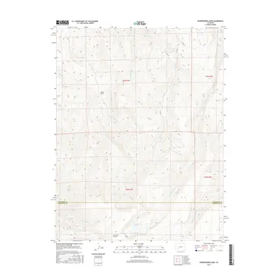
2016 Map of Powderhorn Lakes
USGS Topo · Published 2016About this map
Powderhorn Lakes sit at the southern edge of this high-elevation quadrangle, marking the headwaters for several significant drainage systems. The landscape is defined by the massive Calf Creek Plateau, which directs the flow of multiple waterways, including the W Fork Powderhorn Cr and the Middle Fork Powderhorn Cr to the east. The northern half of the map features a dense network of smaller valleys like Yeager Gulch and Indian Cr, while the western boundary is traced by the path of Big Blue Cr. This mid-2010s survey shows a sparsely populated area primarily used for resource management and recreation, with a road system limited to routes like Co RD 58 and its branches, Co RD 58a and Co RD 58b, which navigate the steep terrain between the Gunnison Co and Hinsdale Co border.
Find a feature on this map
21 named features on this map. Tap any name to fly to it.
Don’t see what you’re looking for? This feature index may not catch every label — zoom into the map to look around manually.
Map Details
Editions of this 2016 Powderhorn Lakes Map
This is the sole edition of this map. No revisions or reprints were ever made.
Other maps of this area

1903 · Lake City
USGS Topo · 1:62,500

1905 · Lake City
USGS Topo · 1:62,500

1908 · Uncompahgre
USGS Topo · 1:125,000

1911 · Uncompahgre
USGS Topo · 1:125,000

1954 · Gateview
USGS Topo · 1:24,000

1956 · Montrose
USGS Topo · 1:250,000

1959 · Montrose
USGS Topo · 1:250,000

1960 · Montrose
USGS Topo · 1:250,000

1962 · Rudolph Hill
USGS Topo · 1:24,000

1962 · Powderhorn
USGS Topo · 1:24,000