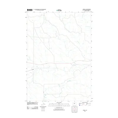
2012 Map of Powell
USGS Topo · Published 2012About this map
Powell sits within the drainage basin of the Bad River in Haakon County, illustrating the sparse settlement patterns of central South Dakota in the early 21st century. The landscape is defined by an intricate network of intermittent waterways, including Buzzard Cr and Witcher Holes Cr to the north, and South Cr to the south. These creek systems, along with others like Medicine Cr and Sarah Laribee Cr, carve through the terrain toward the central river valley. The primary artery for local travel is Powell Rd, which provides a north-south connection across this open ranching country. The distribution of these named creeks and the single town center highlights how water and accessibility have historically shaped the human geography of this part of the Great Plains.
Find a feature on this map
9 named features on this map. Tap any name to fly to it.
Don’t see what you’re looking for? This feature index may not catch every label — zoom into the map to look around manually.
Map Details
Editions of this 2012 Powell Map
This is the sole edition of this map. No revisions or reprints were ever made.
Other maps of this area

1953 · Belvidere NE
USGS Topo · 1:24,000

1953 · Philip SE
USGS Topo · 1:24,000

1954 · Belvidere NW
USGS Topo · 1:24,000

1954 · Kadoka NE
USGS Topo · 1:24,000

1954 · Powell
USGS Topo · 1:24,000

1954 · Nowlin
USGS Topo · 1:24,000

1954 · Pierre
USGS Topo · 1:250,000

1955 · Martin
USGS Topo · 1:250,000

1958 · Pierre
USGS Topo · 1:250,000

1958 · Martin
USGS Topo · 1:250,000