2021 Map of Powell
USGS Topo · Published 2021About this map
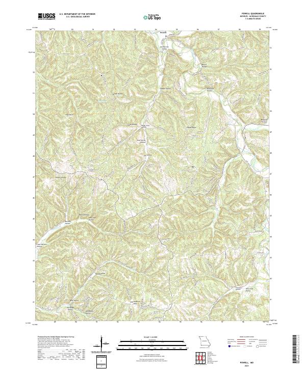
The settlement of Powell sits at the northern edge of a landscape defined by deep drainages and ridges in southwestern Missouri. This 2021 survey of McDonald County illustrates a highly dissected plateau where numerous hollows, such as Rose Spring Hollow and Sleepy Hollow, feed into larger waterways like Big Sugar Creek. The topography is characterized by distinctive summits including High Point and the Whittenburg Hills, which rise above a network of county roads and family-named routes like Joe Mills Rd and Cecil Epling Way.
Find a feature on this map
101 named features on this map. Tap any name to fly to it.
Don’t see what you’re looking for? This feature index may not catch every label — zoom into the map to look around manually.
Map Details
Editions of this 2021 Powell Map
This is the sole edition of this map. No revisions or reprints were ever made.
Historical Maps of Arnett Through Time
10 maps found
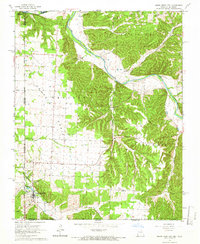
1965 South West City
McDonald County, MO
1965 Tiff City
McDonald County, MO
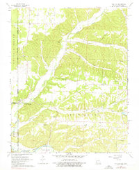
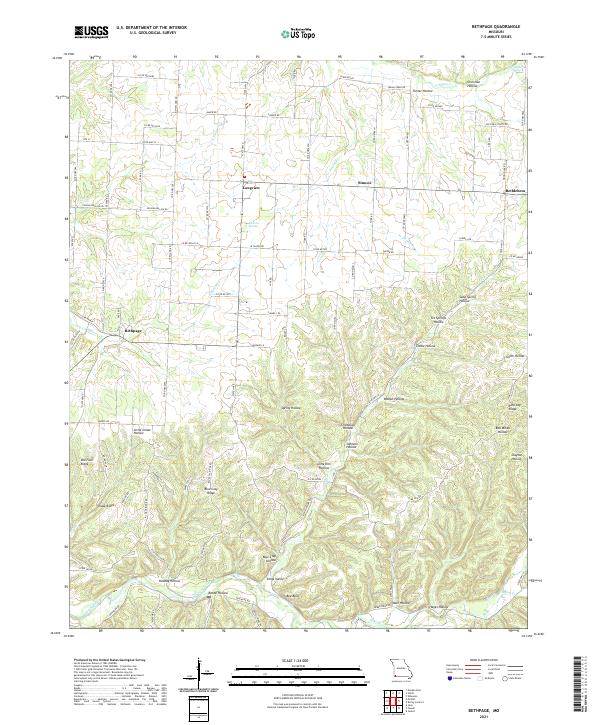
1982 Bethpage
McDonald County, MO
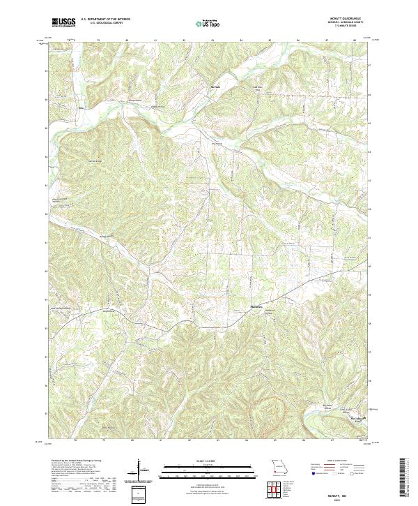
1982 McNatt
McDonald County, MO
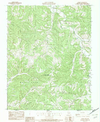
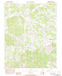
1982 Powell
McDonald County, MO
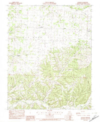
2021 Bethpage
McDonald County, MO
2021 McNatt
McDonald County, MO
2021 Powell
McDonald County, MO
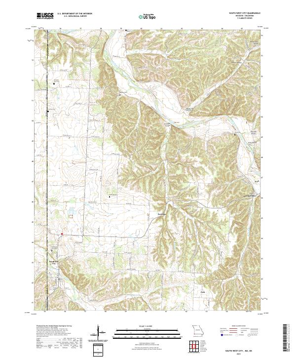
2021 South West City
McDonald County, MO
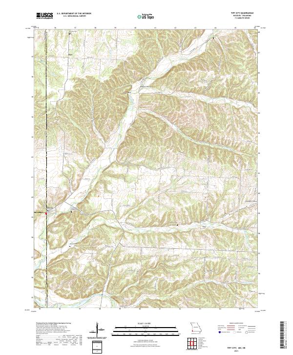
2021 Tiff City
McDonald County, MO