Loading...
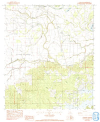
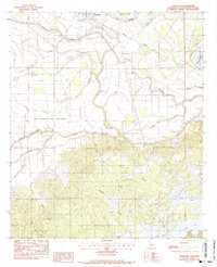
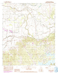
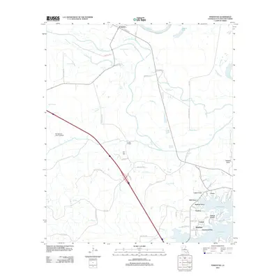
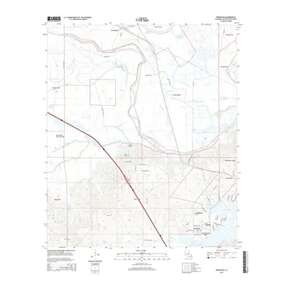
Loading map...1983 Map of Powhatan
USGS Topo · Published 1992About this map
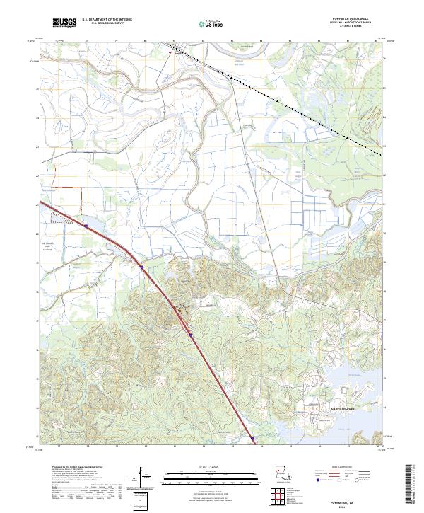
Powhatan sits at a critical junction of river and rail in this Natchitoches Parish study, where the Missouri Pacific railroad tracks cut across a landscape dominated by the winding paths of the Red River and Old River. The geography is defined by complex water systems, from the expansive Old Spanish Lake Lowlands to the network of bayous including Pierre Bayou and Three League Bayou.
Find a feature on this map
37 named features on this map. Tap any name to fly to it.
Don’t see what you’re looking for? This feature index may not catch every label — zoom into the map to look around manually.
Map Details
Date Portrayed1983
Date Published1992
PublisherU.S. Geological Survey
Map TypeTopographic
Scale1:24,000
Physical Dimensions22 x 26.8 inches
Editions of this 1983 Powhatan Map
3 editions found
Historical Maps of Natchitoches Through Time
6 maps found
Featured Locations
Source Details
SourceU.S. Geological Survey
CopyrightPublic Domain