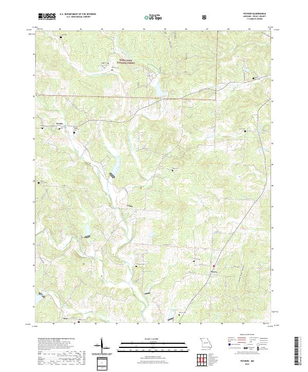
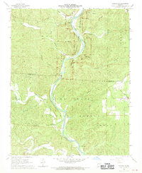
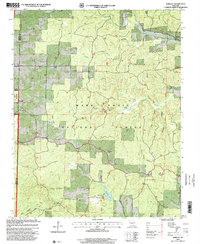
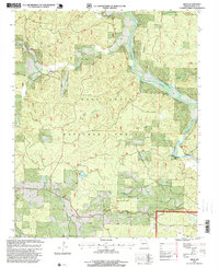
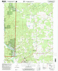
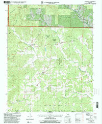
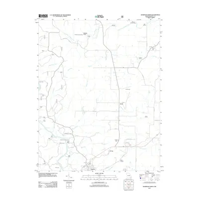
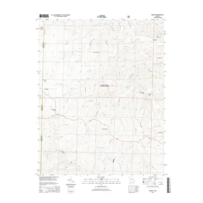
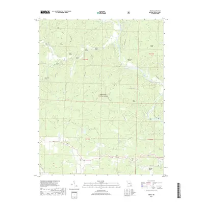
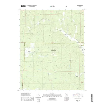
2021 Map of Poynor
USGS Topo · Published 2021About this map
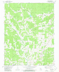
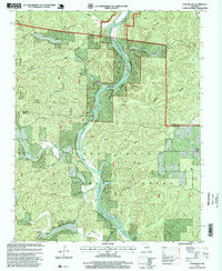
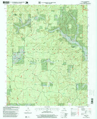
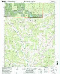
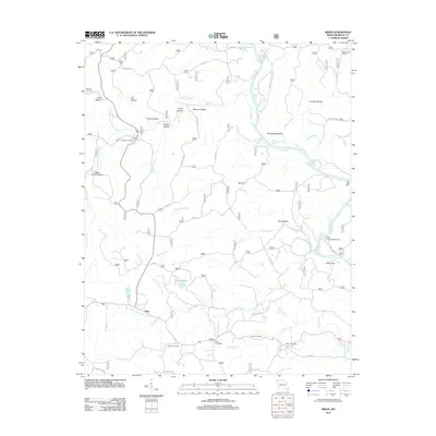
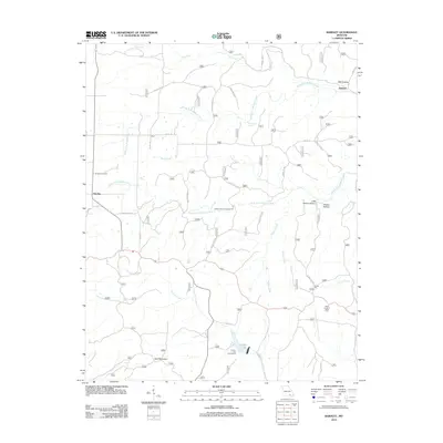
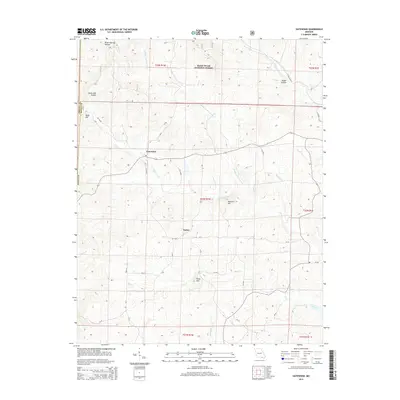
Ponder and Poynor anchor this rural Ripley County landscape, where the northern reaches are dominated by the Mark Twain National Forest. The topography is defined by the winding course of Fourche Creek and its many tributaries, including North Fork Fourche Creek and the West Fork Fourche Creek. Numerous small family and community burial grounds, such as Ponder Catholic Cem, Old Ponder Cem, and Patterson Cem, are scattered throughout the region, offering significant points of interest for genealogical research. The map also captures smaller locales like Leibig and Burr, along with local water features such as Avon Gibson Lake. This area maintains a predominantly rural character, with transport provided by routes like State Hwy CC and State Hwy DD cutting through the timbered hollows and creek valleys.
Find a feature on this map
66 named features on this map. Tap any name to fly to it.
Don’t see what you’re looking for? This feature index may not catch every label — zoom into the map to look around manually.
Map Details
Editions of this 2021 Poynor Map
This is the sole edition of this map. No revisions or reprints were ever made.
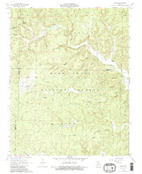
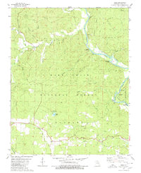
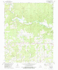
Historical Maps of Doyle Through Time
58 maps found
1935 Acorn
Ripley County, MO
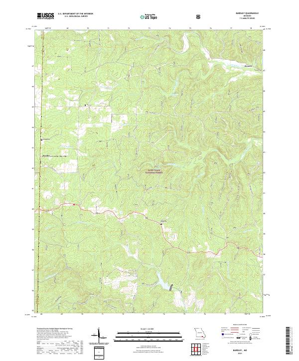
1965 Bardley
Ripley County, MO
1965 Gatewood
Ripley County, MO
1968 Grandin SW
Ripley County, MO
1968 Handy
Ripley County, MO
1979 Briar
Ripley County, MO
1979 Flatwoods
Ripley County, MO
1979 Poynor
Ripley County, MO
1980 Doniphan North
Ripley County, MO
1980 Doniphan South
Ripley County, MO
1980 Hogan Hollow
Ripley County, MO
1997 Bardley
Ripley County, MO
1997 Briar
Ripley County, MO
1997 Doniphan North
Ripley County, MO
1997 Gatewood
Ripley County, MO
1997 Grandin SW
Ripley County, MO
1997 Handy
Ripley County, MO
1997 Poynor
Ripley County, MO
2011 Briar
Ripley County, MO
2011 Doniphan North
Ripley County, MO
2011 Flatwoods
Ripley County, MO

2011 Grandin SW
Ripley County, MO
2011 Hogan Hollow
Ripley County, MO
2011 Poynor
Ripley County, MO
2012 Bardley
Ripley County, MO
2012 Doniphan South
Ripley County, MO
2012 Gatewood
Ripley County, MO
2012 Handy
Ripley County, MO
2015 Bardley
Ripley County, MO
2015 Briar
Ripley County, MO
2015 Doniphan North
Ripley County, MO

2015 Doniphan South
Ripley County, MO
2015 Flatwoods
Ripley County, MO
2015 Gatewood
Ripley County, MO

2015 Grandin SW
Ripley County, MO
2015 Handy
Ripley County, MO

2015 Hogan Hollow
Ripley County, MO
2015 Poynor
Ripley County, MO
2017 Bardley
Ripley County, MO
2017 Briar
Ripley County, MO
2017 Doniphan North
Ripley County, MO

2017 Doniphan South
Ripley County, MO
2017 Flatwoods
Ripley County, MO
2017 Gatewood
Ripley County, MO

2017 Grandin SW
Ripley County, MO
2017 Handy
Ripley County, MO
2017 Hogan Hollow
Ripley County, MO
2017 Poynor
Ripley County, MO
2021 Bardley
Ripley County, MO
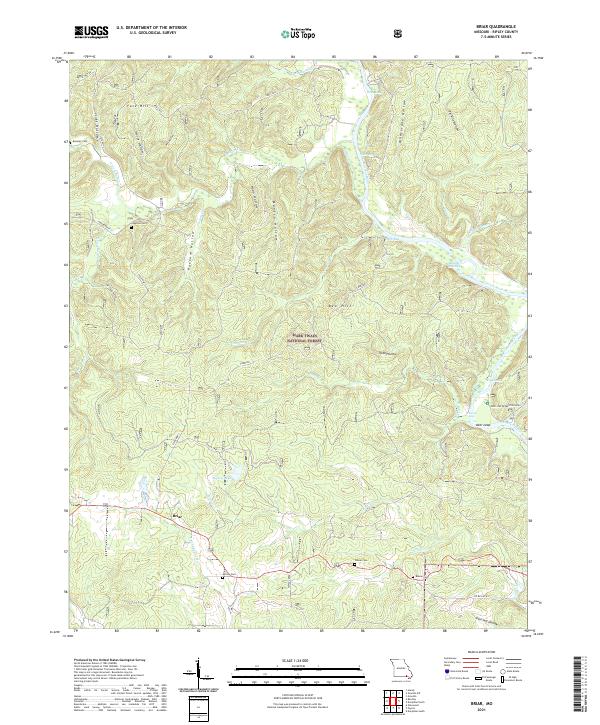
2021 Briar
Ripley County, MO
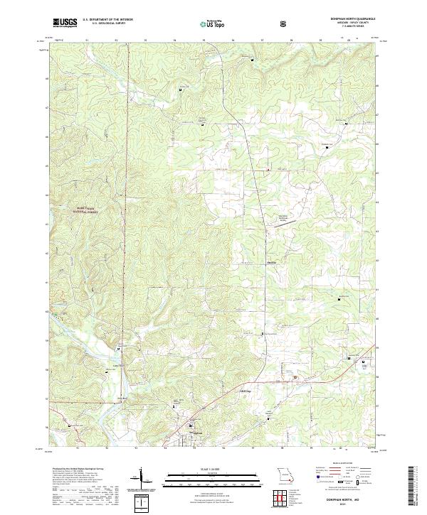
2021 Doniphan North
Ripley County, MO
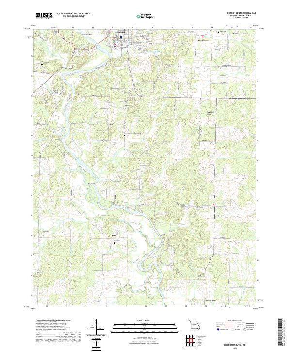
2021 Doniphan South
Ripley County, MO
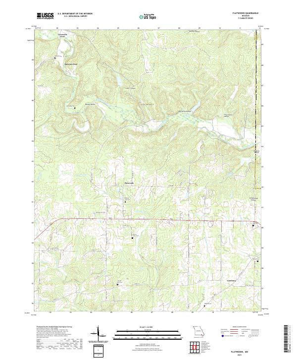
2021 Flatwoods
Ripley County, MO
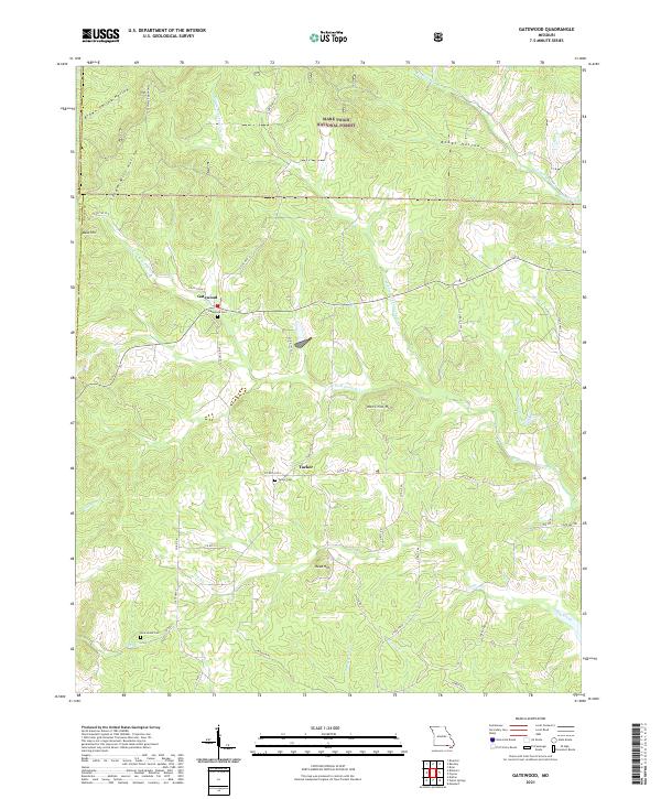
2021 Gatewood
Ripley County, MO
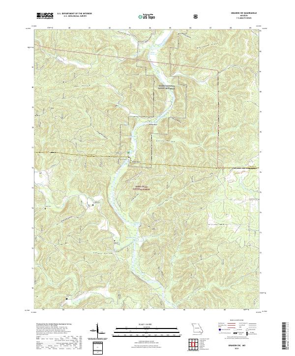
2021 Grandin SW
Ripley County, MO
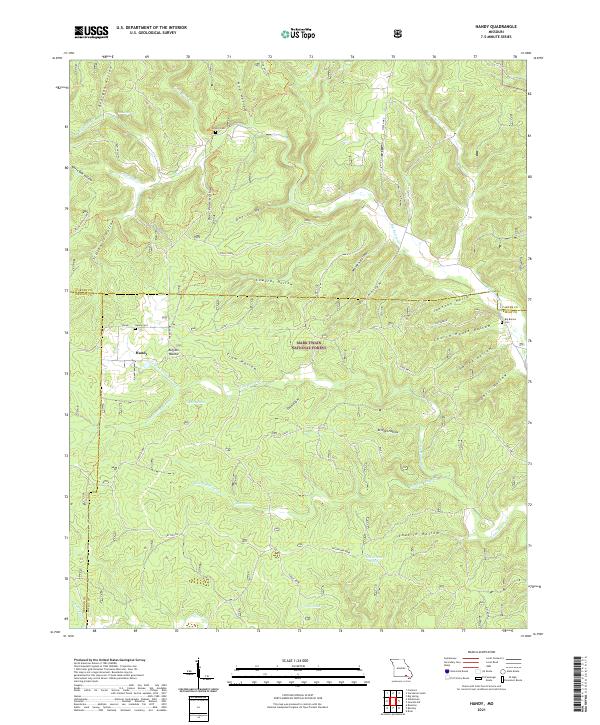
2021 Handy
Ripley County, MO
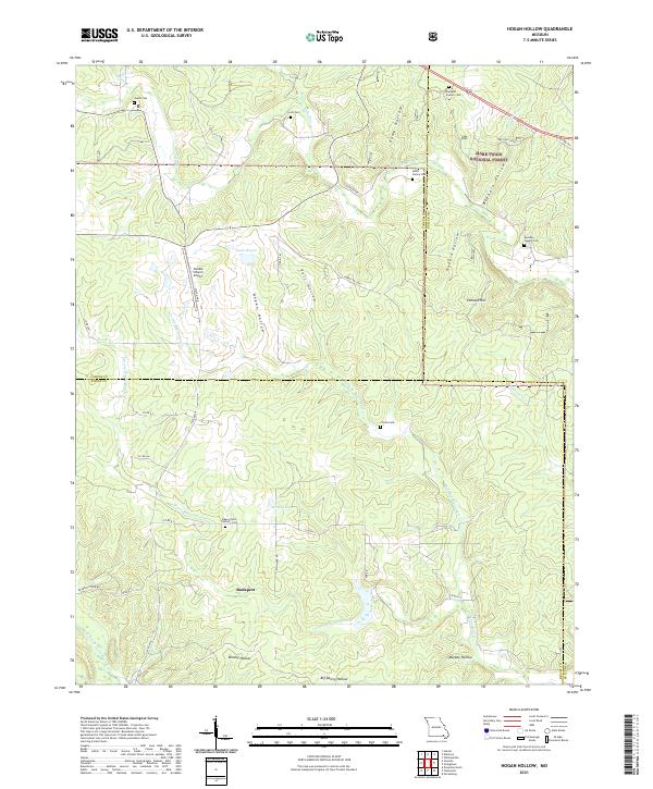
2021 Hogan Hollow
Ripley County, MO
2021 Poynor
Ripley County, MO