
1965 Map of Gatewood
USGS Topo · Published 1967About this map
The community of Gatewood serves as a central point in this mid-1960s survey of southern Ripley County, where the hills of the Mark Twain National Forest meet the Arkansas border. The landscape is defined by the branching drainages of the Middle Fork Fourche Creek and the West Fork Fourche Creek, which carve through prominent elevations like Mulvinia Hill and Cedar Bluff. Atop these heights, the Mulvinia Lookout Tower stands as a focal point for forestry and fire management.
Find a feature on this map
31 named features on this map. Tap any name to fly to it.
Don’t see what you’re looking for? This feature index may not catch every label — zoom into the map to look around manually.
Map Details
Editions of this 1965 Gatewood Map
This is the sole edition of this map. No revisions or reprints were ever made.
Other maps of this area

1935 · Reyno
USGS Topo · 1:62,500

1939 · Doniphan
USGS Topo · 1:62,500

1941 · Gatewood
USGS Topo · 1:62,500

1945 · Doniphan
USGS Topo · 1:62,500

1945 · Gatewood
USGS Topo · 1:62,500

1957 · Poplar Bluff
USGS Topo · 1:250,000

1959 · Poplar Bluff
USGS Topo · 1:250,000

1960 · Poplar Bluff
USGS Topo · 1:250,000
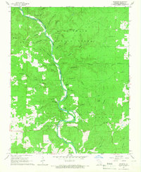
1965 · Riverton
USGS Topo · 1:24,000
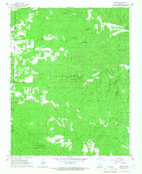
1965 · Bardley
USGS Topo · 1:24,000