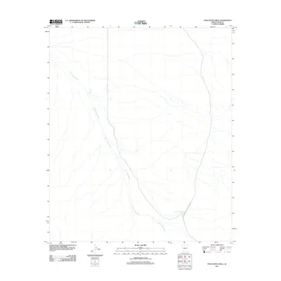
2011 Map of Pozo Nuevo Well
USGS Topo · Published 2011About this map
Organ Pipe Cactus Natl Monument encompasses the southeastern portion of this Pima County landscape, where the arid environment is defined by its drainage systems and isolated water sources. The San Cristobal Wash dominates the terrain, winding from the northwest toward the south as it collects seasonal runoff from the surrounding desert. This 2011 survey documents a remote corner of Arizona where life centers on critical water points like Pozo Nuevo Well and the Jose Juan Tank. The lack of dense development or major road networks highlights the preserved nature of the monument land, offering a clear view of the natural topography and hydrologic patterns of the Sonoran Desert before modern encroachment.
Find a feature on this map
4 named features on this map. Tap any name to fly to it.
Don’t see what you’re looking for? This feature index may not catch every label — zoom into the map to look around manually.
Map Details
Editions of this 2011 Pozo Nuevo Well Map
This is the sole edition of this map. No revisions or reprints were ever made.
Other maps of this area

1953 · Ajo
USGS Topo · 1:250,000

1954 · Sonoyta
USGS Topo · 1:250,000

1957 · Ajo
USGS Topo · 1:250,000

1958 · Ajo
USGS Topo · 1:250,000

1962 · Ajo
USGS Topo · 1:250,000

1963 · Ajo
USGS Topo · 1:250,000

1963 · Lukeville
USGS Topo · 1:62,500

1963 · Quitobaquito Springs
USGS Topo · 1:62,500

1963 · Kino Peak
USGS Topo · 1:62,500

1963 · Lukeville
USGS Topo · 1:250,000