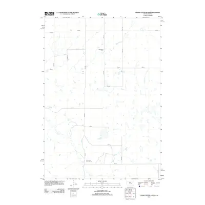
2012 Map of Prairie Center School
USGS Topo · Published 2012About this map
Winnebago Valley dominates the northern portion of this Buffalo County landscape, providing a natural drainage corridor through a region defined by its agricultural grid. The map's primary landmark is the Prairie Center School (historical), situated along the southern reaches of Elm Cr. This historical school site points to the former centers of community life in Grant East Township, where the section-line roads like 224th St and 350th Ave once facilitated travel for local farm families. The hydrography is characterized by the meandering path of Elm Creek and numerous seasonal basins that punctuate the plains, illustrating the water management challenges and natural drainage patterns of central South Dakota in the early 21st century.
Find a feature on this map
17 named features on this map. Tap any name to fly to it.
Don’t see what you’re looking for? This feature index may not catch every label — zoom into the map to look around manually.
Map Details
Editions of this 2012 Prairie Center School Map
This is the sole edition of this map. No revisions or reprints were ever made.
Other maps of this area

1953 · Huron
USGS Topo · 1:250,000

1954 · Huron
USGS Topo · 1:250,000

1966 · Big Bend Dam NE
USGS Topo · 1:24,000

1966 · Big Bend Dam SE
USGS Topo · 1:24,000

1973 · Big Bend Dam 4 SE
USGS Topo · 1:24,000

1973 · Ames
USGS Topo · 1:24,000

1973 · Miller Dale Colony SW
USGS Topo · 1:24,000

1973 · Big Bend Dam 4 NW
USGS Topo · 1:24,000

1973 · Macs Corner SE
USGS Topo · 1:24,000

1973 · Big Bend Dam 4 NE
USGS Topo · 1:24,000