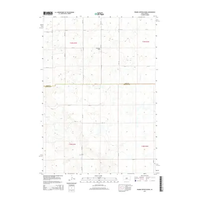
2015 Map of Prairie Center School
USGS Topo · Published 2015About this map
Prairie Center School stands as a primary landmark in this rural landscape of Buffalo and Hand counties. This 2015 edition documents the late-century settlement patterns of central South Dakota, where sections are partitioned by a rigorous grid of section-line roads, such as 349th Ave and 222nd St. The topographical relief is defined by the winding course of Elm Cr, which carves through the southern half of the quadrangle, providing a natural contrast to the geometric precision of the surrounding agricultural lands. To the north, the label Winnebago Valley marks a distinct geographic area where the terrain begins to ripple. The map illustrates the persistence of small rural school sites and localized place names in a region defined by wide-open plains and the intersection of traditional township boundaries.
Find a feature on this map
21 named features on this map. Tap any name to fly to it.
Don’t see what you’re looking for? This feature index may not catch every label — zoom into the map to look around manually.
Map Details
Editions of this 2015 Prairie Center School Map
This is the sole edition of this map. No revisions or reprints were ever made.
Other maps of this area

1953 · Huron
USGS Topo · 1:250,000

1954 · Huron
USGS Topo · 1:250,000

1966 · Big Bend Dam NE
USGS Topo · 1:24,000

1966 · Big Bend Dam SE
USGS Topo · 1:24,000

1973 · Big Bend Dam 4 SE
USGS Topo · 1:24,000

1973 · Ames
USGS Topo · 1:24,000

1973 · Miller Dale Colony SW
USGS Topo · 1:24,000

1973 · Big Bend Dam 4 NW
USGS Topo · 1:24,000

1973 · Macs Corner SE
USGS Topo · 1:24,000

1973 · Big Bend Dam 4 NE
USGS Topo · 1:24,000