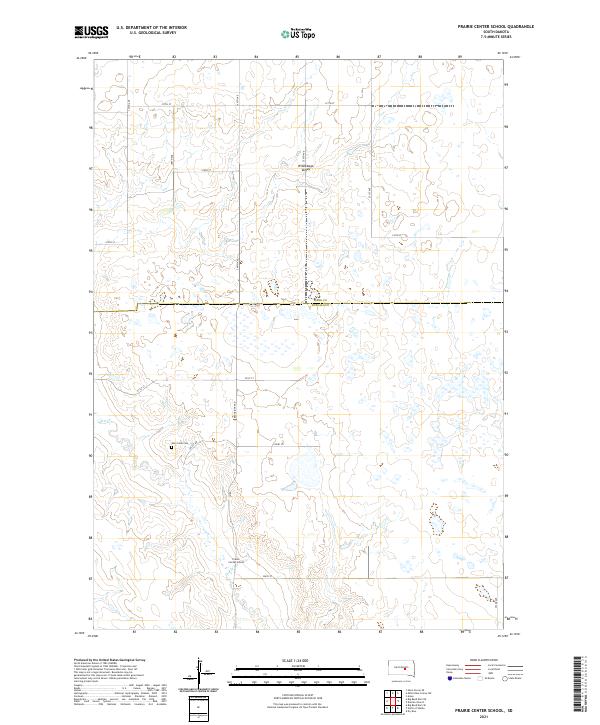
2021 Map of Prairie Center School
USGS Topo · Published 2021About this map
Winnebago Valley dominates the northern half of this central South Dakota landscape, where the prairie is defined by a network of drainage depressions and intermittent water. The rural character of Buffalo and Hand counties is preserved here, centered on the Prairie Center School and the nearby Elm Creek Cem. These small, localized landmarks are connected by a grid of section-line roads, including Ree Heights Rd and Valley Rd, which follow the subtle contours of the land. The seasonal flow of Elm Cr meanders through the southern sections, providing a focal point for the agricultural terrain. This area reflects the enduring township-and-range settlement pattern, with the boundary between Hand Co and Buffalo Co cutting through the heart of the territory.
Find a feature on this map
24 named features on this map. Tap any name to fly to it.
Don’t see what you’re looking for? This feature index may not catch every label — zoom into the map to look around manually.
Map Details
Editions of this 2021 Prairie Center School Map
This is the sole edition of this map. No revisions or reprints were ever made.
Other maps of this area

1953 · Huron
USGS Topo · 1:250,000

1954 · Huron
USGS Topo · 1:250,000

1966 · Big Bend Dam NE
USGS Topo · 1:24,000

1966 · Big Bend Dam SE
USGS Topo · 1:24,000

1973 · Big Bend Dam 4 SE
USGS Topo · 1:24,000

1973 · Ames
USGS Topo · 1:24,000

1973 · Miller Dale Colony SW
USGS Topo · 1:24,000

1973 · Big Bend Dam 4 NW
USGS Topo · 1:24,000

1973 · Macs Corner SE
USGS Topo · 1:24,000

1973 · Big Bend Dam 4 NE
USGS Topo · 1:24,000