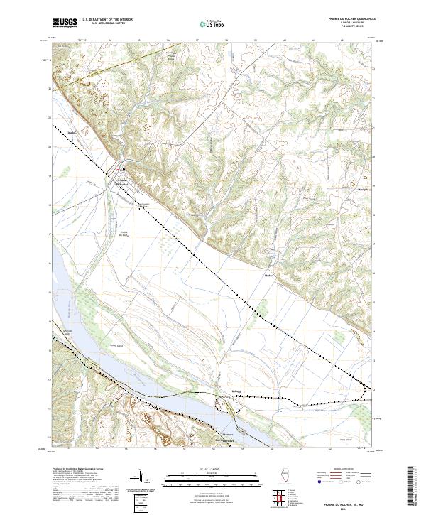
2024 Map of Prairie du Rocher
USGS Topo · Published 2024About this map
Prairie du Rocher sits at the base of the prominent bluffs overlooking the fertile bottomlands of the Mississippi River. This landscape is defined by the sharp transition between the upland plateaus, marked by deep incisions like Barbeau Hollow and Stamm Hollow, and the vast alluvial plain protected by the Levee Rd system. The map illustrates a community shaped by its French colonial roots and proximity to the river, with Saint Joseph's Catholic Cem and Brickley Cem serving as significant genealogical anchors for local families.
Find a feature on this map
63 named features on this map. Tap any name to fly to it.
Don’t see what you’re looking for? This feature index may not catch every label — zoom into the map to look around manually.
Map Details
Editions of this 2024 Prairie du Rocher Map
This is the sole edition of this map. No revisions or reprints were ever made.
Other maps of this area

1907 · Weingarten
USGS Topo · 1:62,500

1909 · Weingarten
USGS Topo · 1:62,500

1912 · Baldwin
USGS Topo · 1:62,500

1914 · Baldwin
USGS Topo · 1:62,500

1915 · Renault
USGS Topo · 1:62,500

1915 · Chester
USGS Topo · 1:62,500

1940 · Renault
USGS Topo · 1:62,500

1942 · Baldwin
USGS Topo · 1:62,500

1947 · Chester
USGS Topo · 1:62,500

1949 · Saint Louis
USGS Topo · 1:250,000