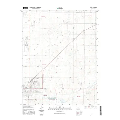
2015 Map of Pratt
USGS Topo · Published 2015About this map
Pratt serves as the focal point of this Kansas landscape, situated where the South Fork Ninnescah River begins its eastward flow. The city's grid is well-established, anchored by the Pratt Community Coll campus and the sprawling Pratt Regional Airport to the northwest. This 2015 survey illustrates a region defined by high-yield agricultural land and critical transportation corridors, with the settlement of Iuka to the north and Natrona to the northeast connected by a network of county roads. The importance of local heritage is evident in the preservation of numerous burial sites, including Green Lawn Cem on the edge of town, Iuka Township Cem, and the more remote Saint Pauls Cem. Hydrological features like Pratt County Lake provide a counterpoint to the expansive township sections, showing how water management and recreation have been integrated into the high plains of Pratt County.
Find a feature on this map
52 named features on this map. Tap any name to fly to it.
Don’t see what you’re looking for? This feature index may not catch every label — zoom into the map to look around manually.
Map Details
Editions of this 2015 Pratt Map
This is the sole edition of this map. No revisions or reprints were ever made.
Other maps of this area

1892 · Pratt
USGS Topo · 1:125,000

1894 · Pratt
USGS Topo · 1:125,000

1955 · Pratt
USGS Topo · 1:250,000

1959 · Pratt
USGS Topo · 1:250,000

1967 · Cairo
USGS Topo · 1:24,000

1968 · Pratt SW
USGS Topo · 1:24,000

1968 · Pratt
USGS Topo · 1:24,000

1968 · Coats
USGS Topo · 1:24,000

1968 · Coats NE
USGS Topo · 1:24,000
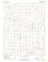
1968 · Pratt SE
USGS Topo · 1:24,000