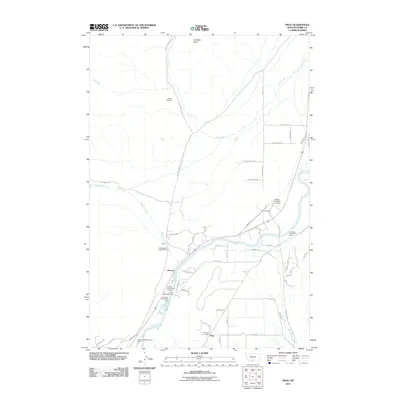
2011 Map of Pray
USGS Topo · Published 2011About this map
The Yellowstone River corridor defines the landscape of this Park County region, where the small communities of Pray and Chicory sit alongside the water and rail infrastructure. Transport and communication are centered at the Pray Post Office, the Pray Siding, and the Flying Y Ranch Airport, reflecting a mix of rural ranching and essential services. Genealogical interest is anchored by the Nesbit Cemetery located in the northern reaches near Dry Creek.
Find a feature on this map
56 named features on this map. Tap any name to fly to it.
Don’t see what you’re looking for? This feature index may not catch every label — zoom into the map to look around manually.
Map Details
Editions of this 2011 Pray Map
This is the sole edition of this map. No revisions or reprints were ever made.
Other maps of this area

1891 · Livingston
USGS Topo · 1:250,000

1893 · Livingston
USGS Topo · 1:250,000

1947 · Bozeman
USGS Topo · 1:250,000

1948 · Bozeman
USGS Topo · 1:250,000

1951 · Bozeman Pass
USGS Topo · 1:62,500

1951 · Brisbin
USGS Topo · 1:24,000

1951 · Chimney Rock
USGS Topo · 1:24,000

1955 · Bozeman
USGS Topo · 1:250,000

1955 · Emigrant
USGS Topo · 1:62,500

1955 · Fridley Peak
USGS Topo · 1:62,500