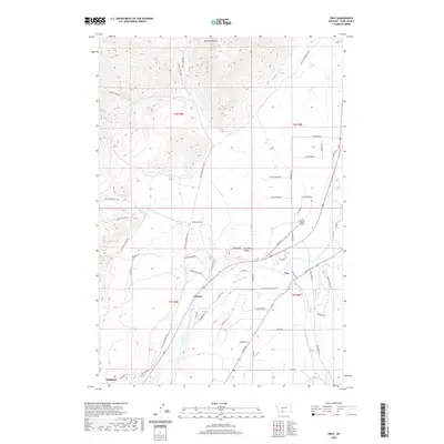
2020 Map of Pray
USGS Topo · Published 2020About this map
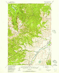
Paradise Valley is defined by the sweeping course of the Yellowstone River, which anchors the rural landscape of Park County. In the southern portion of this 2020 map, the small settlements of Pray, Chicory, and Emigrant sit along the river corridor, connected by the historical route of the Old Yellowstone Trl N. The area shows a sophisticated network of water management, with the Paradise Canal, Highline Ditch, and Mill Cr Flat Ditch branching off to support the valley's agricultural heritage. Toward the north, the terrain rises into the foothills, marked by Antelope Butte and the drainage of Eightmile Cr. Aviation history is present near the river at the Flying Y Ranch Airport, while numerous family-named roads like Caledonia Rd and Glengarry Rd trace the residential and ranching growth of this mountain valley.
Find a feature on this map
62 named features on this map. Tap any name to fly to it.
Don’t see what you’re looking for? This feature index may not catch every label — zoom into the map to look around manually.
Map Details
Editions of this 2020 Pray Map
This is the sole edition of this map. No revisions or reprints were ever made.
Other maps of this area
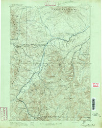
1891 · Livingston
USGS Topo · 1:250,000
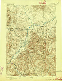
1893 · Livingston
USGS Topo · 1:250,000

1947 · Bozeman
USGS Topo · 1:250,000

1948 · Bozeman
USGS Topo · 1:250,000
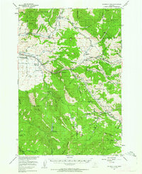
1951 · Bozeman Pass
USGS Topo · 1:62,500
1951 · Brisbin
USGS Topo · 1:24,000
1951 · Chimney Rock
USGS Topo · 1:24,000
1955 · Bozeman
USGS Topo · 1:250,000
1955 · Emigrant
USGS Topo · 1:62,500
1955 · Fridley Peak
USGS Topo · 1:62,500