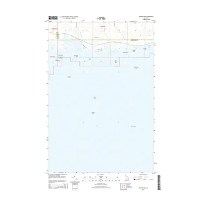
2014 Map of Prentiss Bay
USGS Topo · Published 2014About this map
Prentiss Bay and the northern shores of Lake Huron define this coastal landscape on the edge of the Upper Peninsula. The shoreline is marked by a complex series of inlets and points, including Beaver Tail Bay, Dudley Bay, and Stevenson Bay. These waters were historically significant for navigation and the timber industry, evidenced here by terrestrial features like E Sawmill Rd. Offshore, the map details a series of hazardous underwater features such as Martin Reef, Pomeroy Reef, and Tobin Reef, which have long dictated the maritime paths of Great Lakes vessels. The eastern fringe of the Les Cheneaux Islands appears at the western margin, with Bear Island and Crow Island shielding the mainland from the open lake. Inland, the terrain is relatively low, drained by Prentiss Cr and Beaver Tail Cr as they flow toward the bays.
Find a feature on this map
36 named features on this map. Tap any name to fly to it.
Don’t see what you’re looking for? This feature index may not catch every label — zoom into the map to look around manually.
Map Details
Editions of this 2014 Prentiss Bay Map
This is the sole edition of this map. No revisions or reprints were ever made.
Other maps of this area

1931 · Pickford SE
USGS Topo · 1:31,680

1954 · Sault Sainte Marie
USGS Topo · 1:250,000

1955 · Cheboygan
USGS Topo · 1:250,000

1956 · Sault Sainte Marie
USGS Topo · 1:250,000

1957 · Sault Sainte Marie
USGS Topo · 1:250,000

1958 · Cheboygan
USGS Topo · 1:250,000

1958 · Sault Sainte Marie
USGS Topo · 1:250,000
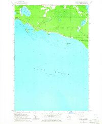
1964 · Albany Island
USGS Topo · 1:24,000
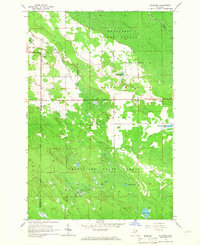
1964 · Stalwart
USGS Topo · 1:24,000
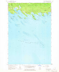
1964 · Prentiss Bay
USGS Topo · 1:24,000