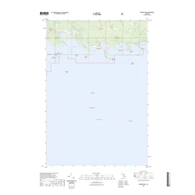
2023 Map of Prentiss Bay
USGS Topo · Published 2023About this map
Prentiss Bay and the northern reaches of Lake Huron dominate this coastal landscape at the boundary of Chippewa and Mackinac counties. The map documents a complex shoreline where the eastern edge of the Les Cheneaux Islands meets the open lake, featuring prominent landmarks like Whitefish Point and Beaver Tail Point. Inland, the terrain is defined by the Hiawatha NF and the winding course of Beaver Tail Creek, which feeds into its namesake bay.
Find a feature on this map
36 named features on this map. Tap any name to fly to it.
Don’t see what you’re looking for? This feature index may not catch every label — zoom into the map to look around manually.
Map Details
Editions of this 2023 Prentiss Bay Map
This is the sole edition of this map. No revisions or reprints were ever made.
Other maps of this area

1931 · Pickford SE
USGS Topo · 1:31,680

1954 · Sault Sainte Marie
USGS Topo · 1:250,000

1955 · Cheboygan
USGS Topo · 1:250,000

1956 · Sault Sainte Marie
USGS Topo · 1:250,000

1957 · Sault Sainte Marie
USGS Topo · 1:250,000

1958 · Cheboygan
USGS Topo · 1:250,000

1958 · Sault Sainte Marie
USGS Topo · 1:250,000
1964 · Albany Island
USGS Topo · 1:24,000
1964 · Stalwart
USGS Topo · 1:24,000
1964 · Prentiss Bay
USGS Topo · 1:24,000