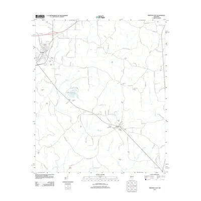
2012 Map of Prentiss East
USGS Topo · Published 2012About this map
Jefferson Davis Lake sits as a central landmark in this portion of Mississippi, surrounded by a dense network of family and community burial grounds that define the local genealogy. The settlement of Prentiss occupies the northwestern corner, where residential streets like Lea Ave and Lipsey St intersect near the Prentiss Cem. Moving southeast toward Carson, the landscape is primarily defined by the drainage basins of Holiday Cr and Jaybird Cr.
Find a feature on this map
124 named features on this map. Tap any name to fly to it.
Don’t see what you’re looking for? This feature index may not catch every label — zoom into the map to look around manually.
Map Details
Editions of this 2012 Prentiss East Map
This is the sole edition of this map. No revisions or reprints were ever made.
Other maps of this area

1953 · Hattiesburg
USGS Topo · 1:250,000

1958 · Hattiesburg
USGS Topo · 1:250,000

1970 · Prentiss West
USGS Topo · 1:24,000

1970 · Bunker Hill
USGS Topo · 1:24,000

1970 · Oak Vale
USGS Topo · 1:24,000

1970 · New Hebron
USGS Topo · 1:24,000

1970 · Prentiss East
USGS Topo · 1:24,000

1970 · Mount Carmel
USGS Topo · 1:24,000

1974 · Lone Star
USGS Topo · 1:24,000

1974 · Bassfield
USGS Topo · 1:24,000